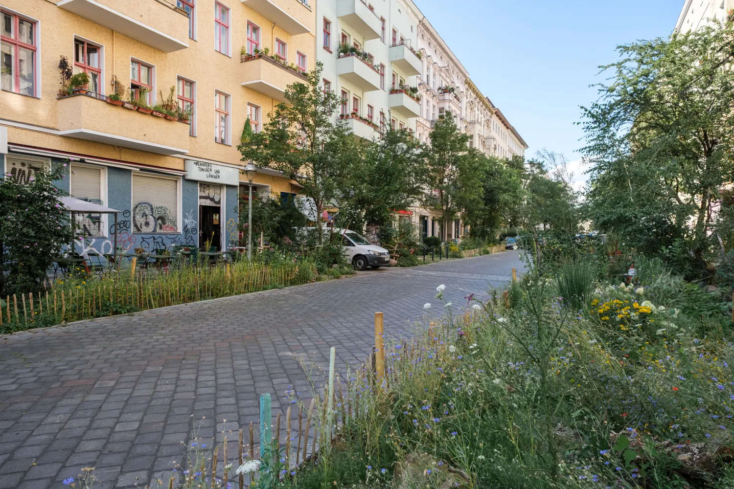
What happens when a city decides that parking spaces are not the best use of its streets? In Berlin's Graefekiez neighbourhood, the district of Friedrichshain-Kreuzberg has been finding out.
The Graefekiez has been formally designated a traffic-calmed zone since the 1980s. In practice, the streets looked like any other: carriageway, parking strip, pavement. The legal designation existed; the physical reality did not match it. Speeds were too high, sightlines were poor, and the four schools in the neighbourhood sat on streets that felt anything but calm. In the summer of 2022, the district assembly resolved to change that.
A new USE case study documents how the district went about it and what other cities can learn from the process. The approach was deliberately incremental. Rather than redesigning the entire neighbourhood at once, the district began with a defined core area, converting parking spaces into green surfaces, neighbourhood terraces, loading zones and shared-mobility hubs. In the first six months, residents made 20,000 trips using the new Jelbi sharing stations.
The case study also addresses the obstacles honestly: legal constraints under German road traffic law, soil contamination that delayed construction, funding that ran out, and participation formats that did not reach every part of the community. These are challenges that cities elsewhere will recognise.
For cities considering how to shift the balance of street space away from parked cars, and how to build the legal, political and community foundations to do so, the Graefekiez offers a grounded and transferable example.