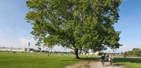
 Parque Madrid Río - © The City Project (https://www.flickr.com/photos/cityprojectca/)
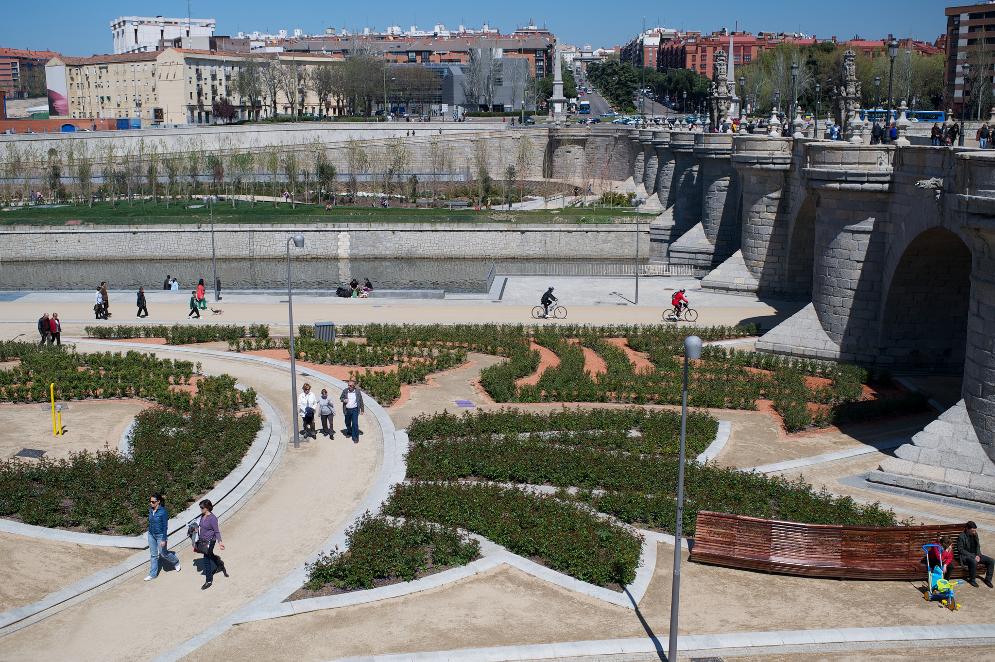 Parque Madrid Río - © The City Project (https://www.flickr.com/photos/cityprojectca/)
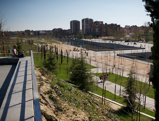 Parque Madrid Río - © The City Project (https://www.flickr.com/photos/cityprojectca/)
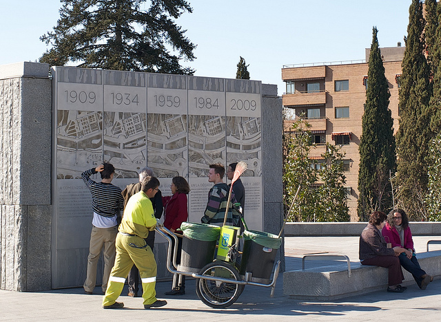 Parque Madrid Río - © The City Project (https://www.flickr.com/photos/cityprojectca/)
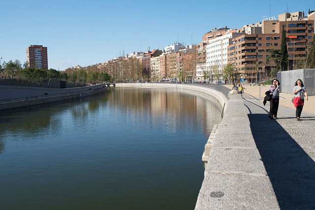 Parque Madrid Río - © The City Project (https://www.flickr.com/photos/cityprojectca/)
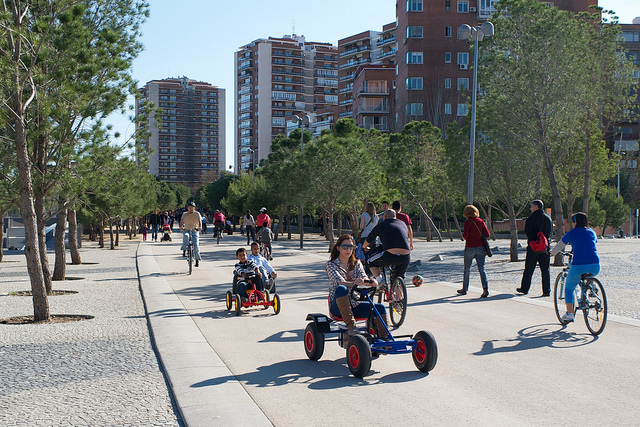 Parque Madrid Río - © The City Project (https://www.flickr.com/photos/cityprojectca/)
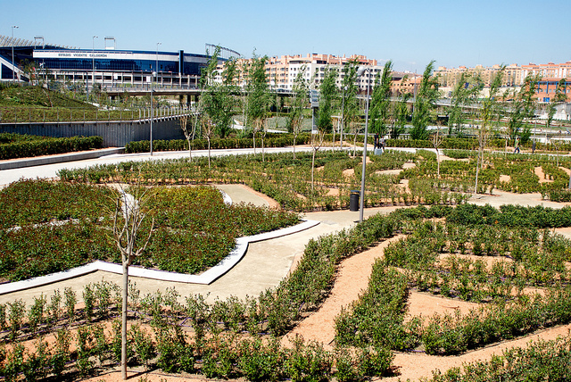 Parque Madrid Río - © The City Project (https://www.flickr.com/photos/cityprojectca/)
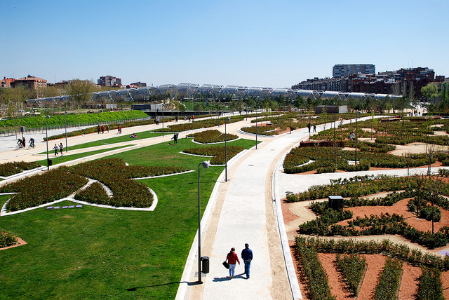 Parque Madrid Río - © The City Project (https://www.flickr.com/photos/cityprojectca/)
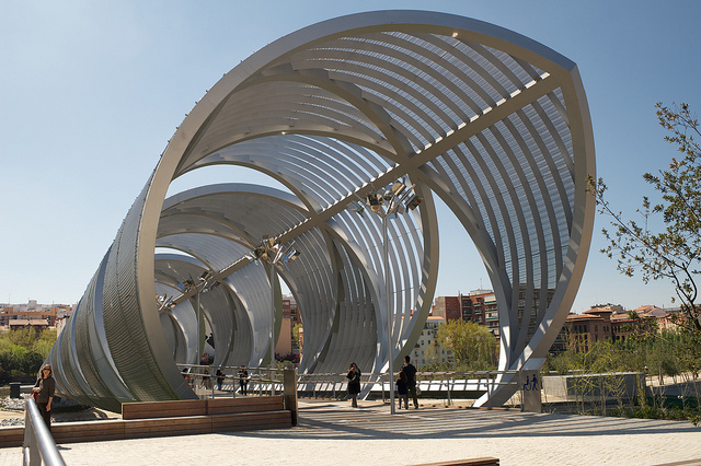 Parque Madrid Río - © The City Project (https://www.flickr.com/photos/cityprojectca/)
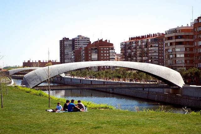 Parque Madrid Río - © The City Project (https://www.flickr.com/photos/cityprojectca/)
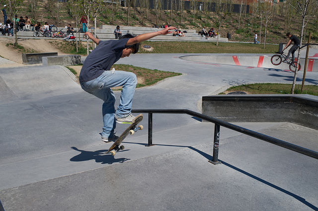 Parque Madrid Río - © The City Project (https://www.flickr.com/photos/cityprojectca/)
 Parque Madrid Río - © The City Project (https://www.flickr.com/photos/cityprojectca/)
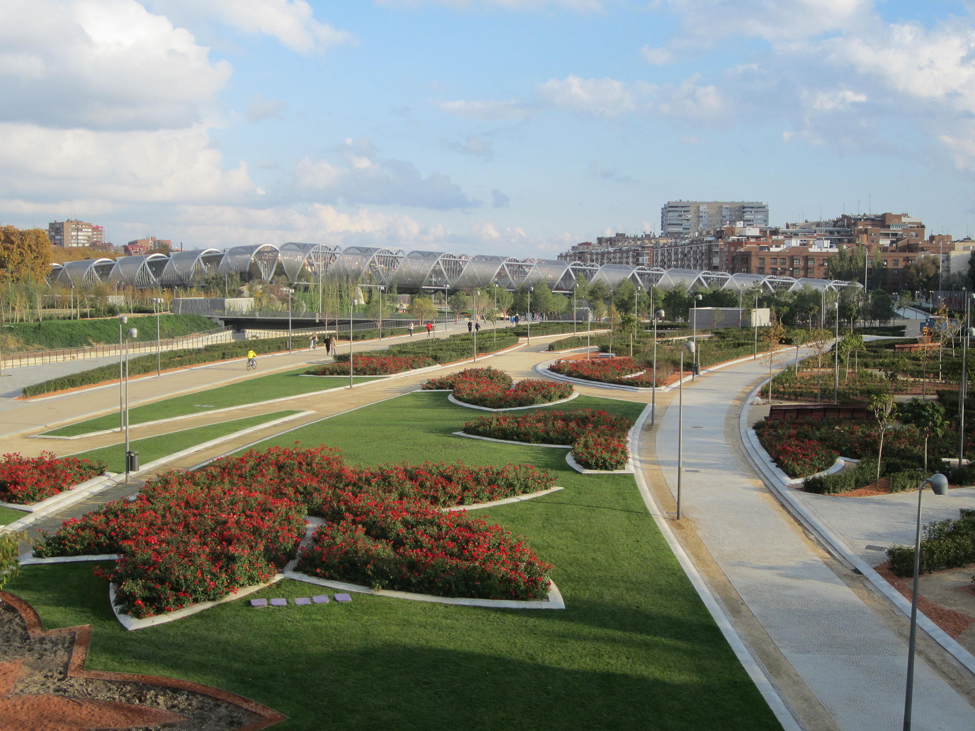
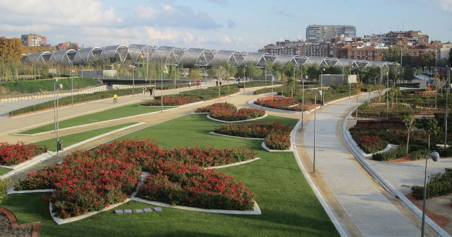 The Madrid Río Project, Madrid, Spain - © The City Project (https://www.flickr.com/photos/cityprojectca/)
Item 1 of 13
Status
completed
100%
City
Madrid
Main actors
Local Government, City Government, Community / Citizen Group
Project area
Inner City
Duration
2007 - 2015
The Madrid Río project aims at converting the zone alongside the Manzanares River into green areas to make the city eco friendlier.
In June 2008, the Department of Urban Planning of the Madrid City Council officially launched the Madrid Río Project to reclaim the Manzanares River, restoring the surrounding natural habitat for residents to enjoy. After eight years of planning and construction the last section of Madrid Río was finally opened to the public in April 2015.
Before launching the project, the city had first to convert the M30 multilane highway underground, resulting in a ten kilometres long parkland area ; 820 hectares have been converted into a long park. The river bank has thus become an integral part of the city centre, and now offers Madrilenians and visitors an area surrounded by vegetation and filled with wide a range of sports, leisure and cultural facilities.
The redeveloped area covers six districts. All this just 1.5 kilometres from the Puerta del Sol in the centre of Madrid.
Metropolis Award
This project was awarded the 'Metropolis Award' in 2014 in the following category: Honorable Mention.
External links / documents
On Map
The Map will be displayed after accepting cookie policy
Photo gallery