 - © Juan Carlos Uribe Vega, UCLG Learning
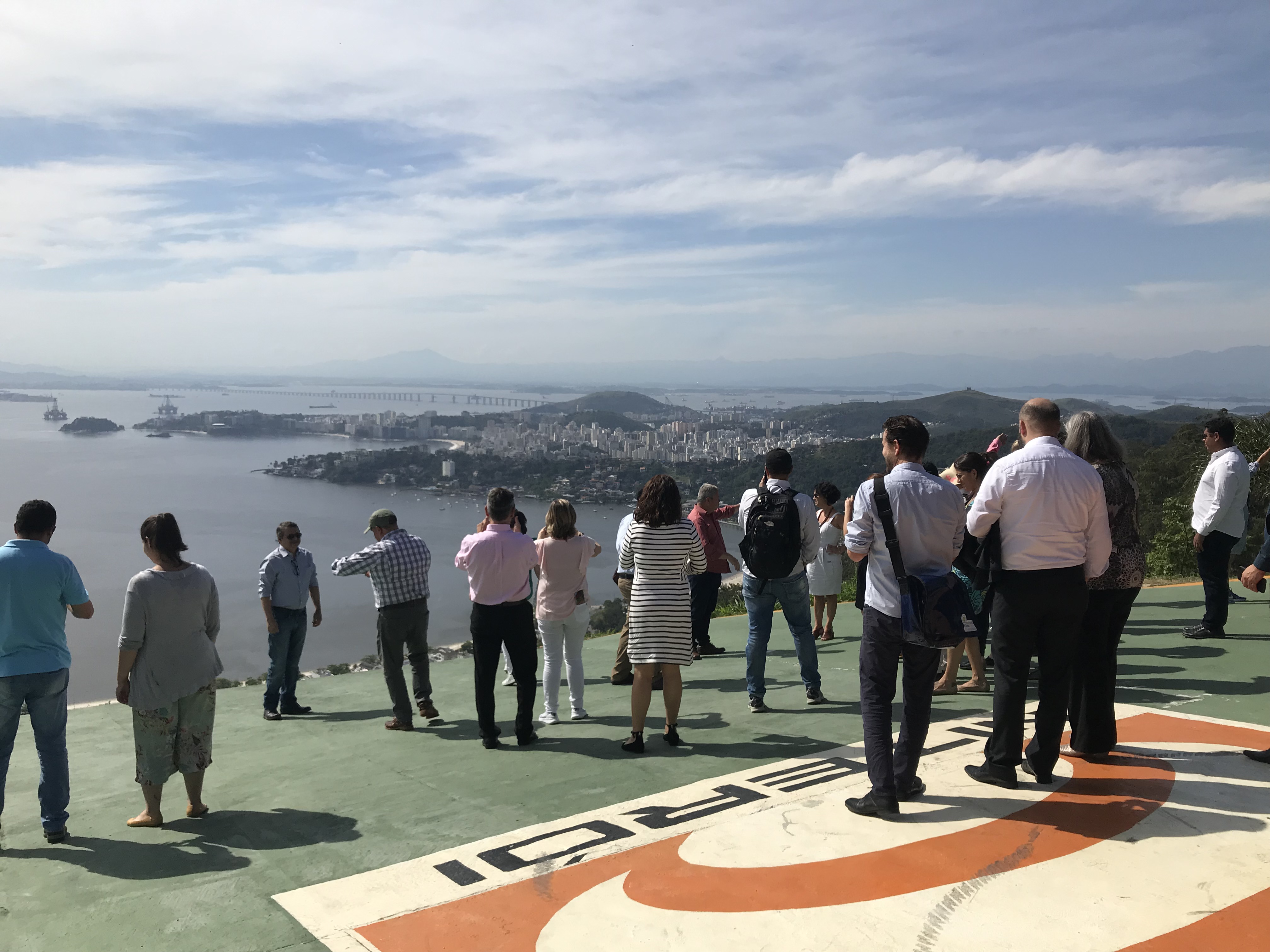 - © Juan Carlos Uribe Vega, UCLG Learning
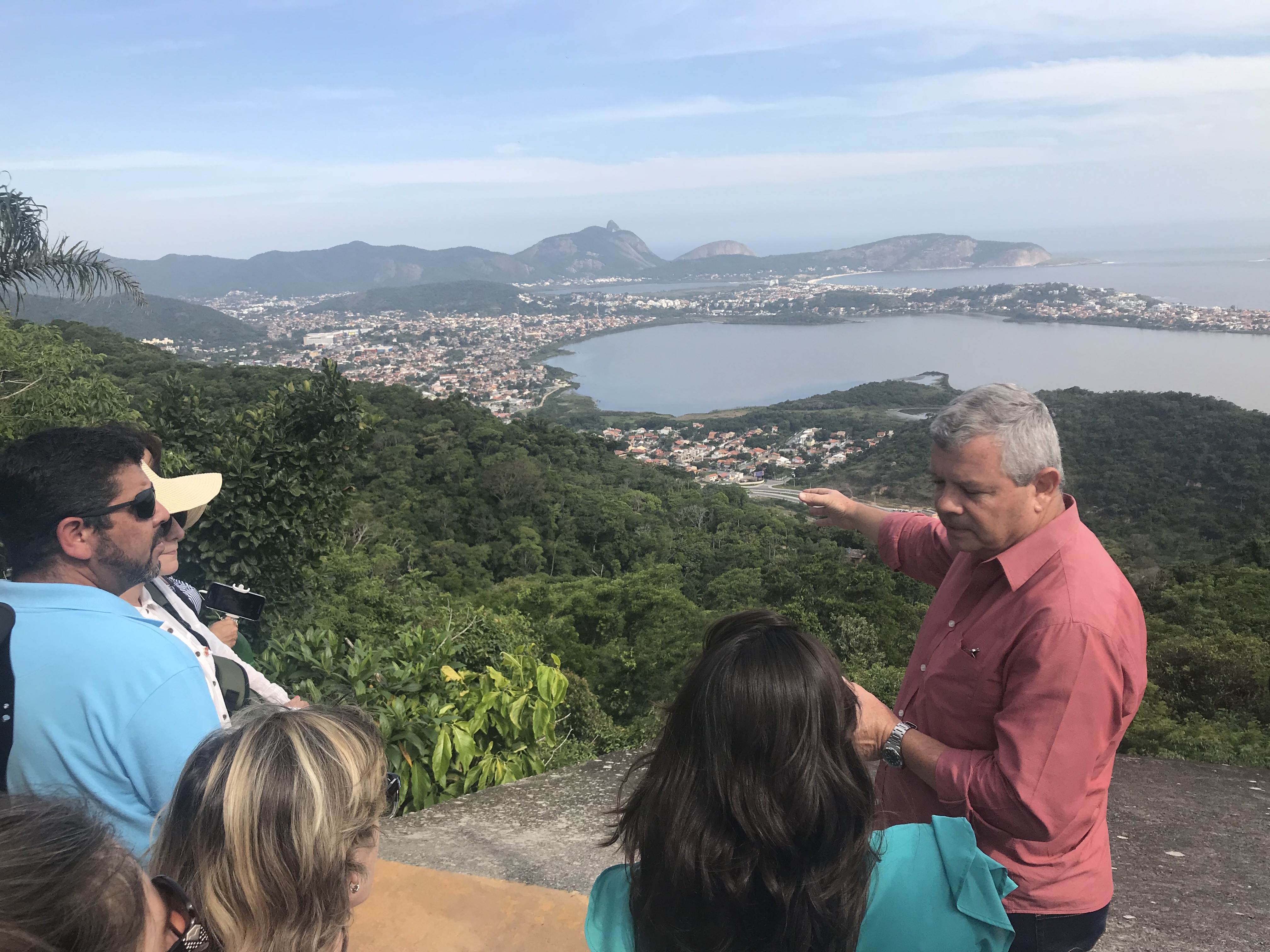 - © Juan Carlos Uribe Vega, UCLG Learning
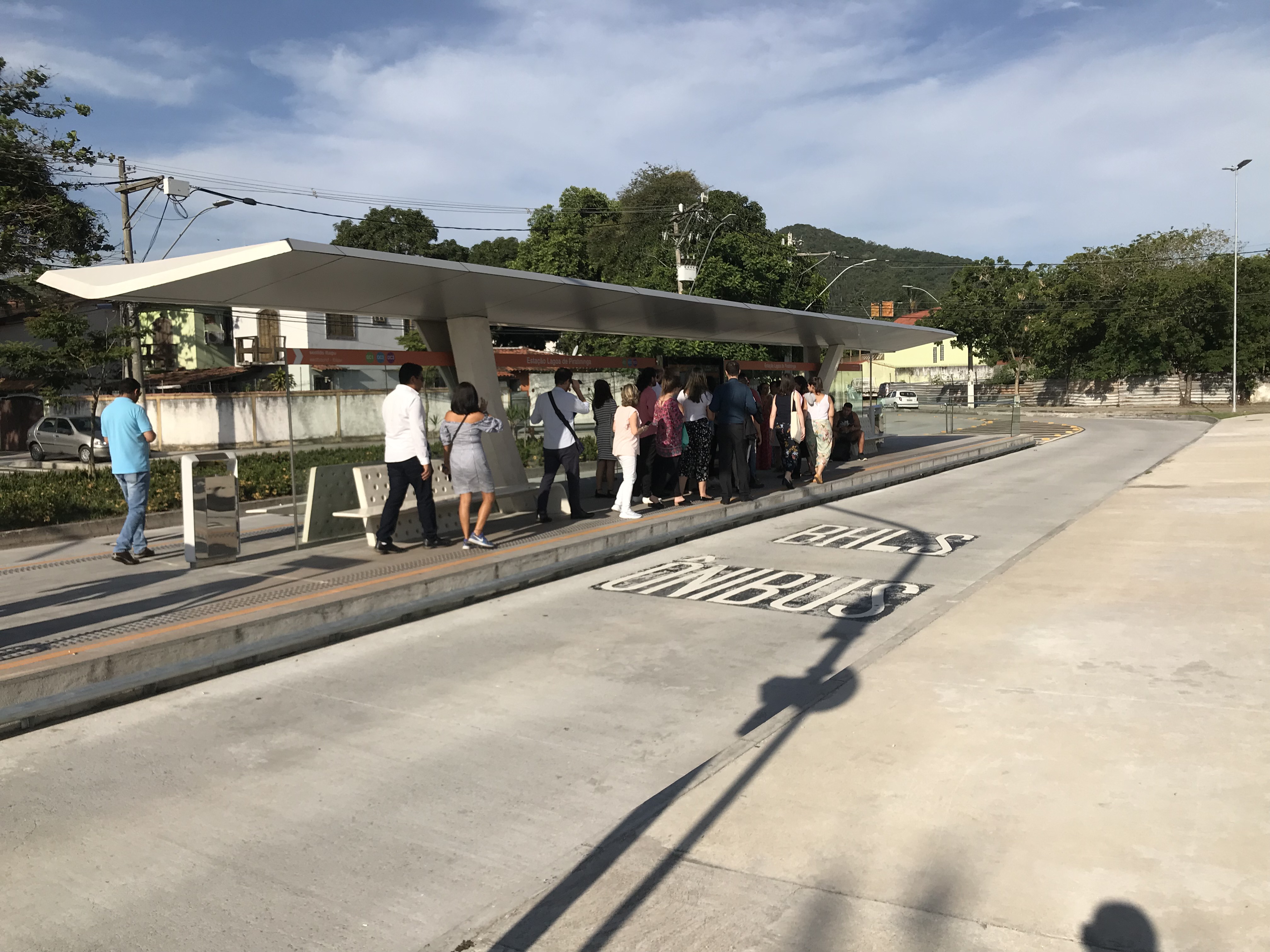 - © Juan Carlos Uribe Vega, UCLG Learning
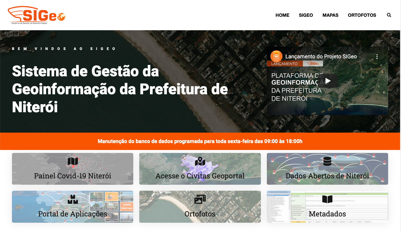 - © Juan Carlos Uribe Vega, UCLG Learning
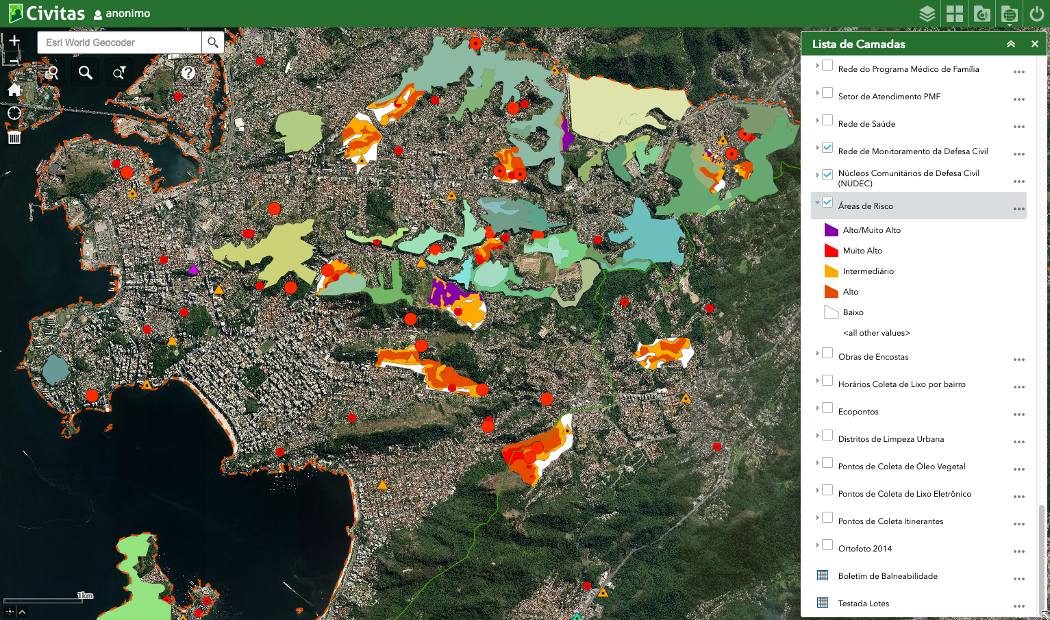 - © Juan Carlos Uribe Vega, UCLG Learning
Item 1 of 6
Status
ongoing
50%
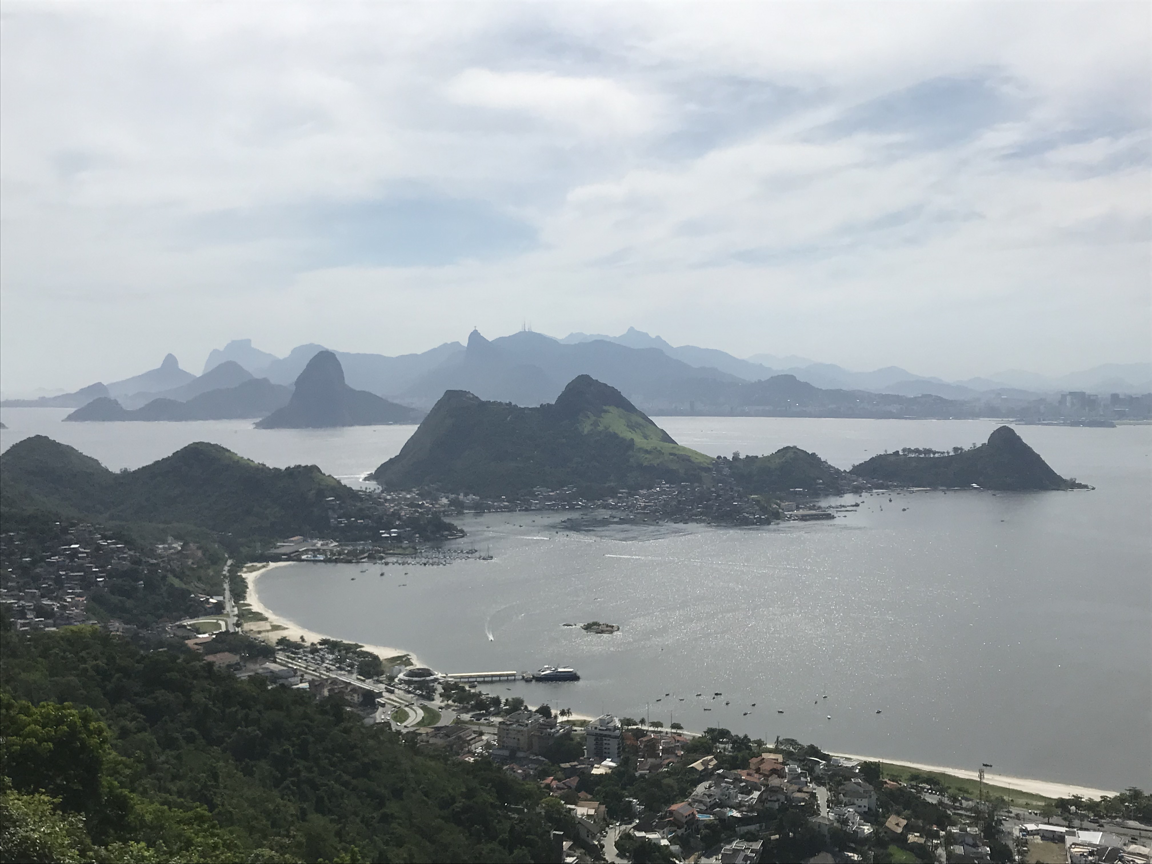
City
Niterói
Main actors
City Government, Supranational / Intergovernmental Institutions, Private Sector
Project area
Whole City/Administrative Region
Duration
Ongoing since 2014
A unified GIS platform that improves territorial management and planning
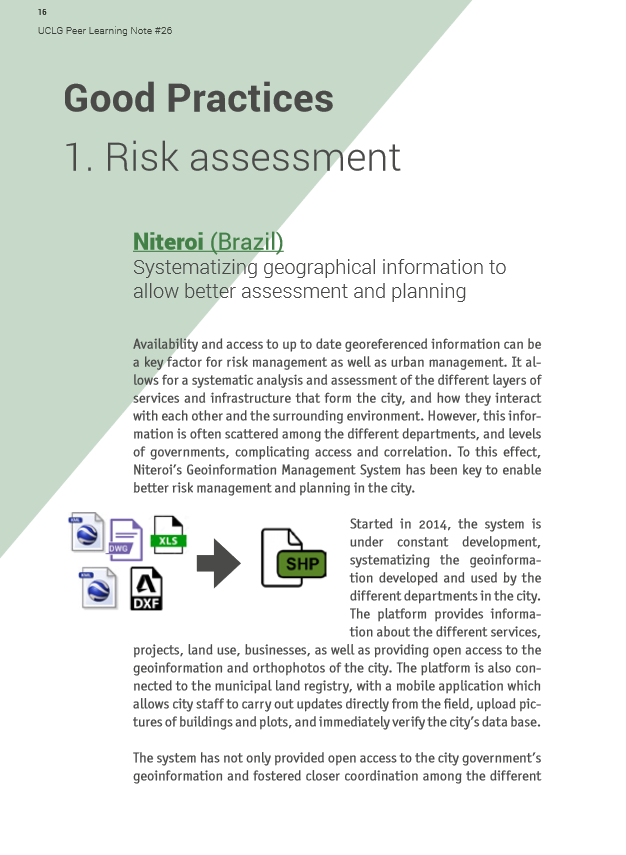
Accessing up-to-date georeferenced information enables better risk management and planning in the city. It allows for systematic analysis and assessment of the different layers of services and infrastructure that make up the city as well as how these layers interact with each other and the surrounding environment. However, this information is often scattered among various departments and levels of governments, complicating access and correlation.
In order to manage the city in a more efficient and integrated manner, the city of Niterói decided to invest in the development of a geoinfomation management system (SIGeo). This geographic information tool has improved the collaboration between the secretariats of the city and generated benefits for the community in the form of better infrastructure in the areas of health, environment, public safety, and civil defense. The system has also supported municipal tax decision-making, reducing conflicts, saving resources, and ensuring better quality of life for the residents.
This case study was contributed from the UCLG Learning Team.
Peer Learning Note #26: Climate Resilience and Urban Development

On Map
The Map will be displayed after accepting cookie policy
Want to know more about this project?

Photo gallery


