São Paulo Civil Defense Prevention Plan

Status
ongoing
50%
City

São Paulo (state)

Main actors

City Government, Regional Government

Project area

other

Duration

Ongoing since 2018

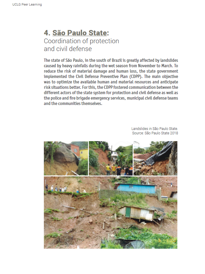
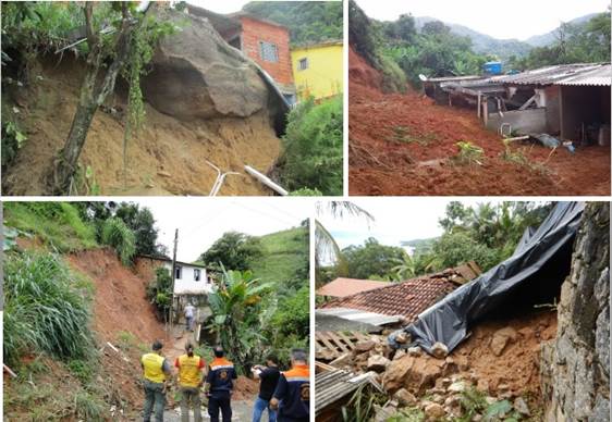
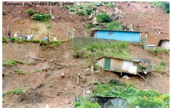
The State of São Paulo is regularly affected by landslides during the wet season which present a serious risk for all citizens and their belongings. In order to better manage this risk, the State of São Paulo has established a Civil Defense Prevention Plan including an early warning system to optimize the use of human and material resources in risk situations and avoid the occurrence of deaths.

This case study was contributed from the UCLG Learning Team.

Peer-Learning Note #24 on Local and Regional Disaster Risk Reduction


Sustainable Development Goals

Make cities and human settlements inclusive, safe, resilient and sustainablePromote peaceful and inclusive societies for sustainable development, provide access to justice for all and build effective, accountable and inclusive institutions at all levels
City
São Paulo (state), Brazil
Size and population development
Population composition
Main functions
Main industries / business
Sources for city budget
Political structure
Administrative structure
Website
http://www.saopaulo.sp.gov.br/conhecasp/

The state of São Paulo, located in the South of Brazil, experiences heavy rainfalls during the annual wet season (November - March) and as a consequence, is seriously affected by landslides. In the past, the landslides have caused material damage and also lead to the loss of lives. Subsequently, the State of São Paulo has developed and implemented a Civil Defense Prevention Plan.

The initiatives and objectives of the plan include:

  • mapping of risk areas;
  • creation of the technical working group for analysis;
  • definition of criteria (cumulative rainfall, disaster history and technical surveys);
  • training of agents involved;
  • preparation of legislation;
  • creation of monitoring and meteorology network;
  • systematization of information;
  • management.

The Civil Defense Prevention Plan of the state government includes several steps to make progress in the following dimensions of risk management during the wet season:

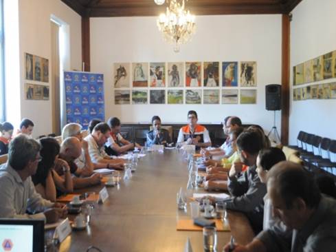
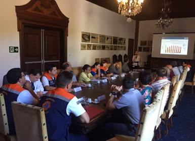
1) Better communication and co-ordination between the different actors involved including police, fire brigades, emergency services, municipal civil defense teams and the local communities. This is expected to lead to quicker and more efficient responses to posed risks.

2) Improved prediction of landslides through increased monitoring of rainfalls. Together with weather forecasts, field surveys and on-site field informants, a better risk assessment is possible. In addition, efforts during the dry-season have been increased. Preparatory activities and training courses for staff members and communities has increased awareness and knowledge about the risk of landslides. Furthermore, the dry-season is now used to conduct technical studies, to produce reports identifying risk zones and to register all landslide events. This data is entered into a new database which provides information regarding hazards and risks. The database comprises maps of risk areas and is updated with the latest meteorological data including relative humidity data and rainfall indexes.

3) This information enables the civil defense authorities at both state and municipal level to differentiate the actual risk into four different categories; no imminent risk, attention, alert and emergency. This new risk assessment and categorization allows the deployment of a reliable warning system. Municipalities who face a high level of risk can now take appropriate measures regarding disaster management and react before a hazard strikes.
For the development and implementation of the Civil Defense Prevention Plan no additional resources were required. The plan is based around better coordination of existing resources and better risk assessment initiatives which provide more effective responses. The State government did provide some start-up finance and coordinated the participation of all actors involved in the plan.

A direct result of the Civil Defense Prevention Plan has been the improved communication and collaboration of all actors and the increase in awareness of communities regarding the risk of landslides. Additionally, the reduced number of communities affected by landslides as well as decrease in the number of deaths and material damages shows the effectiveness of the plan.

The main challenge is that the rainfall and landslides are not in human control.  The awareness of municipalities regarding the risk of landslides is important, as they are at the forefront of disaster risk reduction programs and policies. However, growing urbanization and a lack of spatial planning may lead to more settlements in endangered zones in the future.

The establishment or redevelopment of a Civil Defense Plan is a central and effective step towards disaster risk reduction. The collaboration of multiple stakeholders can identify synergies and allow for a more effective response.

Early warning systems are pivotal for risk assessment. Cities with similar risk situations should also implement an early warning system for landslides.

- UCLG Peer-Learning Note no. 24, Local and Regional Disaster Risk Reduction: https://www.uclg.org/sites/default/files/local_and_regional_disaster_risk_reduction.pdf

On Map

The Map will be displayed after accepting cookie policy

Want to know more about this project?

UCLG Learning
Barcelona (área metropolitana), Spain

UCLG Learning

Institution | Local and Regional Government Network

Photo gallery

Related case studies

Gijon’s Citizen Card
Gijon, Spain

Gijon’s Citizen Card

A single card, Gijon’s Citizen Card, allows Gijon's citizens to pay their bus fare, hire a bike and take out a library book. Today, 250,000 of Gijon’s citizens – 80% of the city’s population - carry this card, unlocking services and facilities across the city.
Resilient San Francisco Strategy
San Francisco, United States

Resilient San Francisco Strategy

The city of San Francisco has developed a resilience strategy that will increase the city's capacity to be better prepared and recover more rapidly from natural disasters and climate change events.
SIATA: Early Warning System of the Aburra Valley
Valle de Aburrá, Colombia

SIATA: Early Warning System of the Aburra Valley

SIATA is a science and technology project framed in the context of risks associated with natural hazards, sustainability, and the development of smart cities.