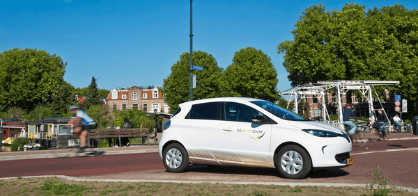
 SIATA: Early Warning System of the Aburrá Valley, Metropolitan Area of Aburrá Valley, Colombia - © Metropolitan area of Aburrá Valley
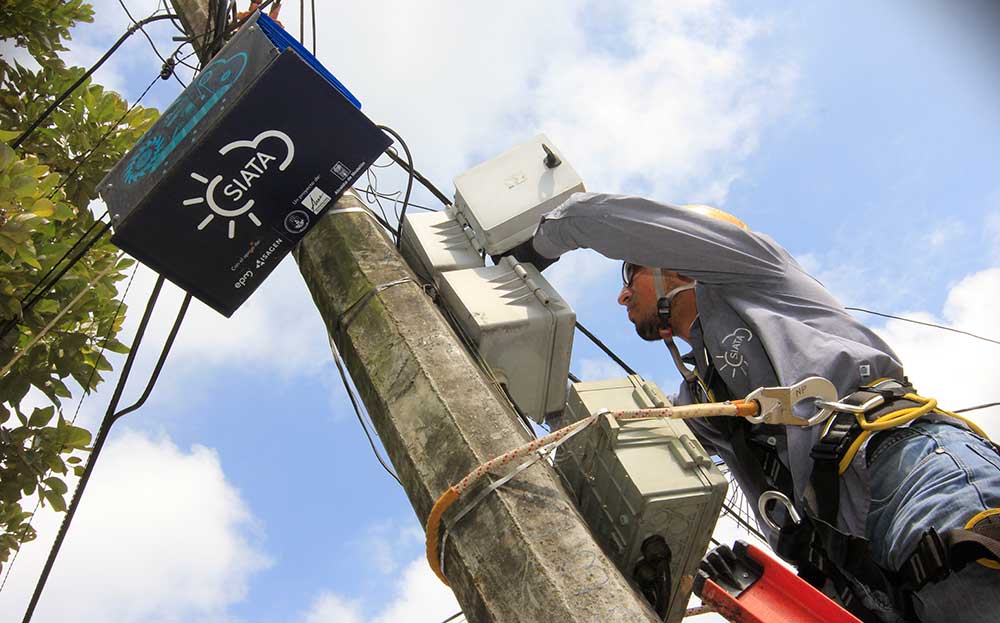 Siata early warning system - © Metropolitan area of Aburrá Valley
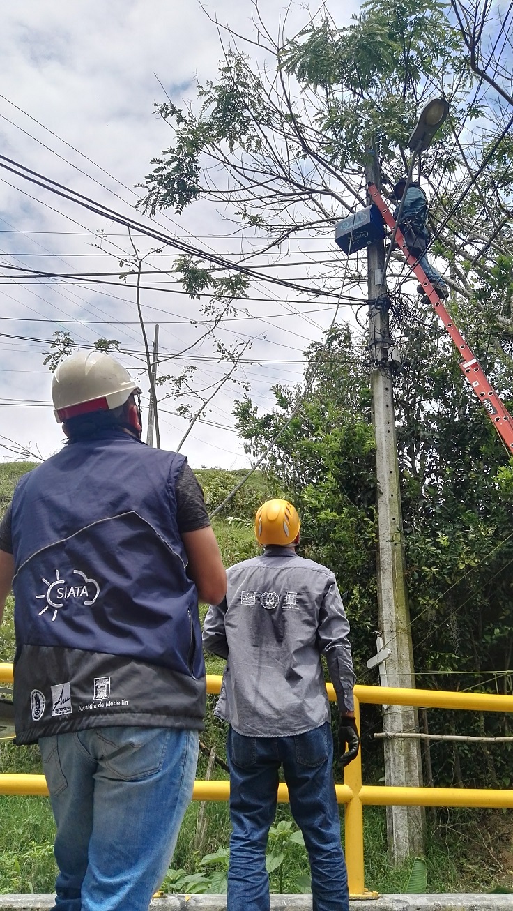 Siata early warning system - © Metropolitan area of Aburrá Valley
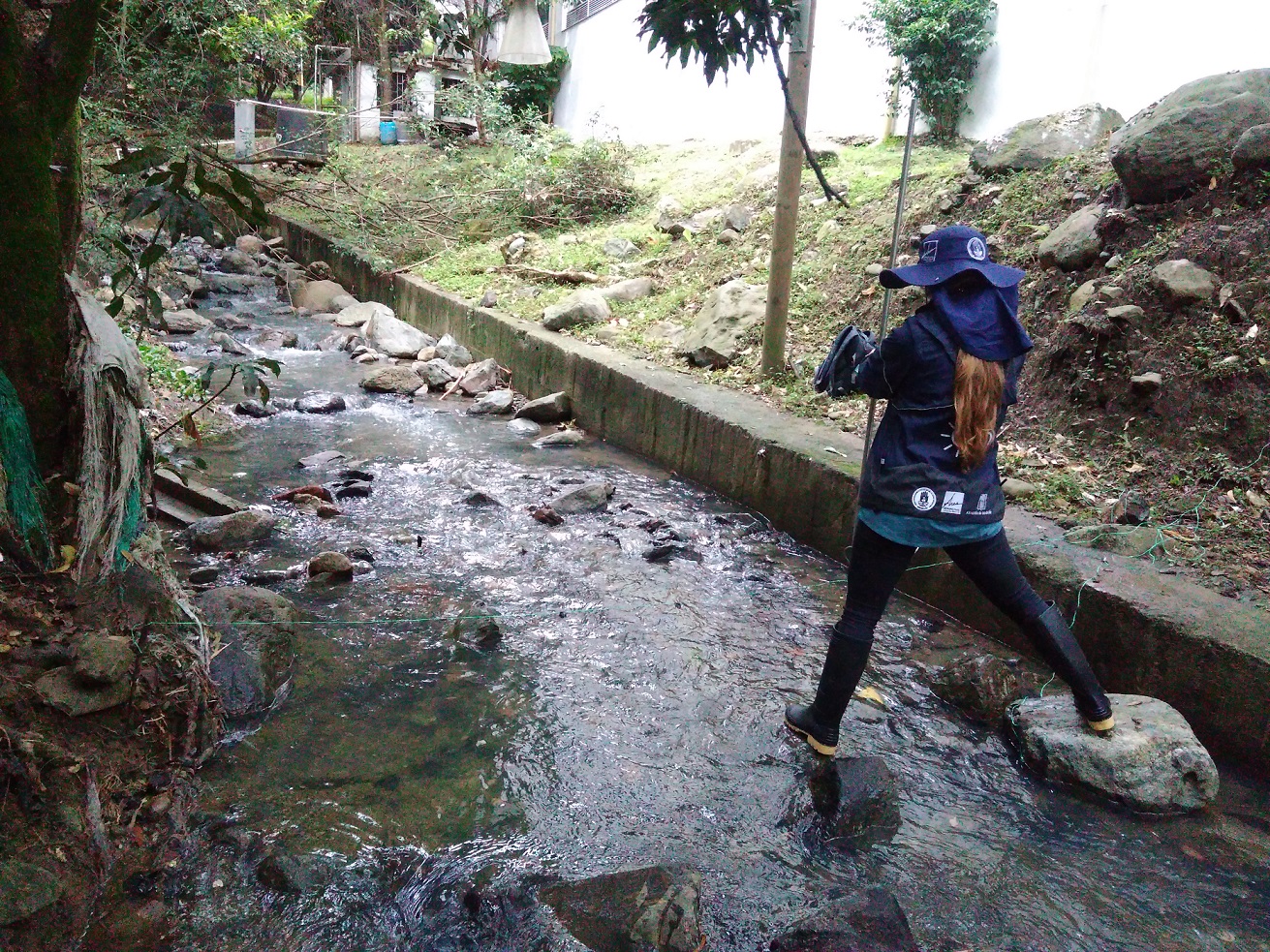 Siata early warning system - © Metropolitan area of Aburrá Valley
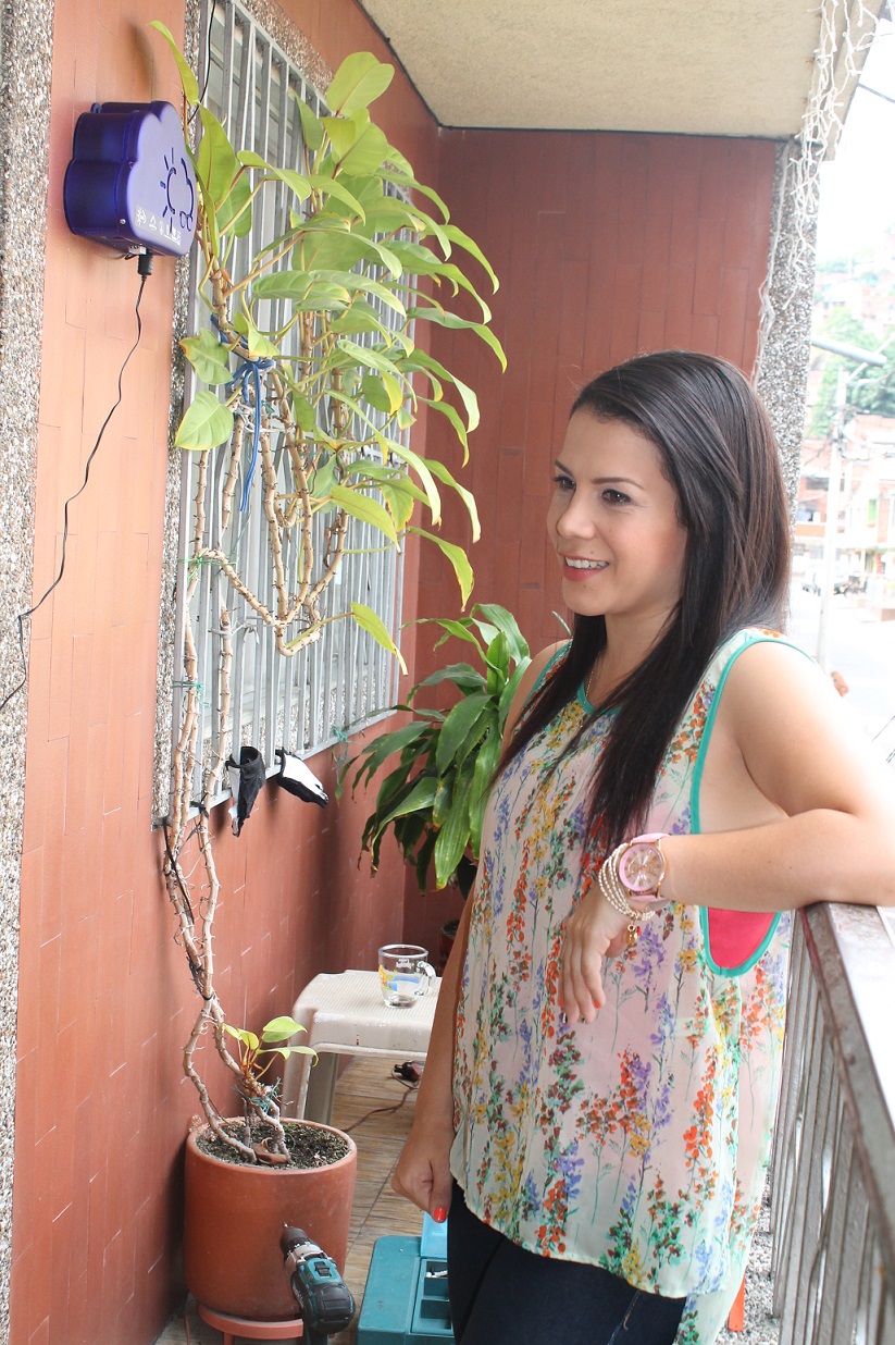 Siata early warning system - © Metropolitan area of Aburrá Valley
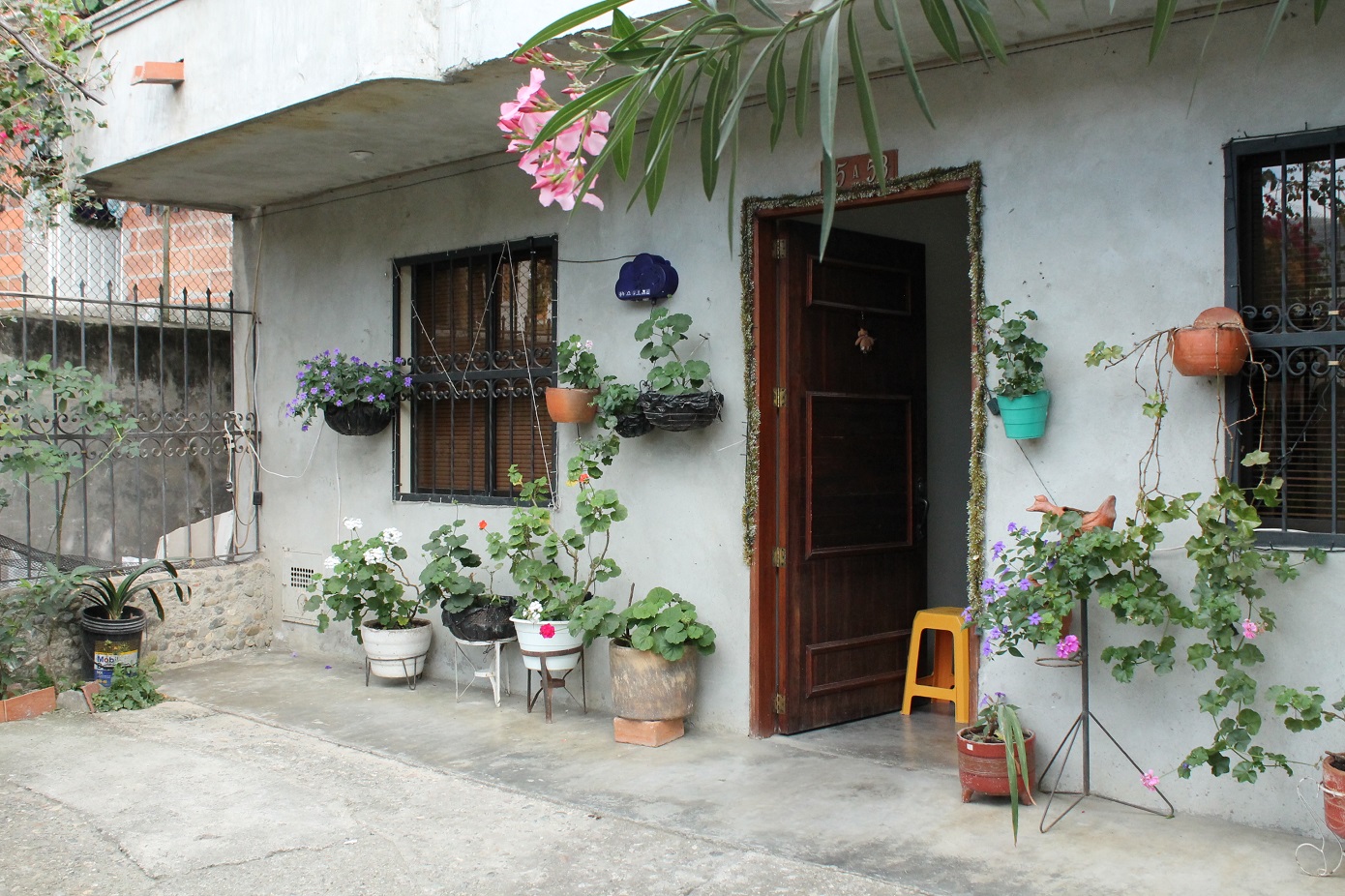 Siata early warning system - © Metropolitan area of Aburrá Valley
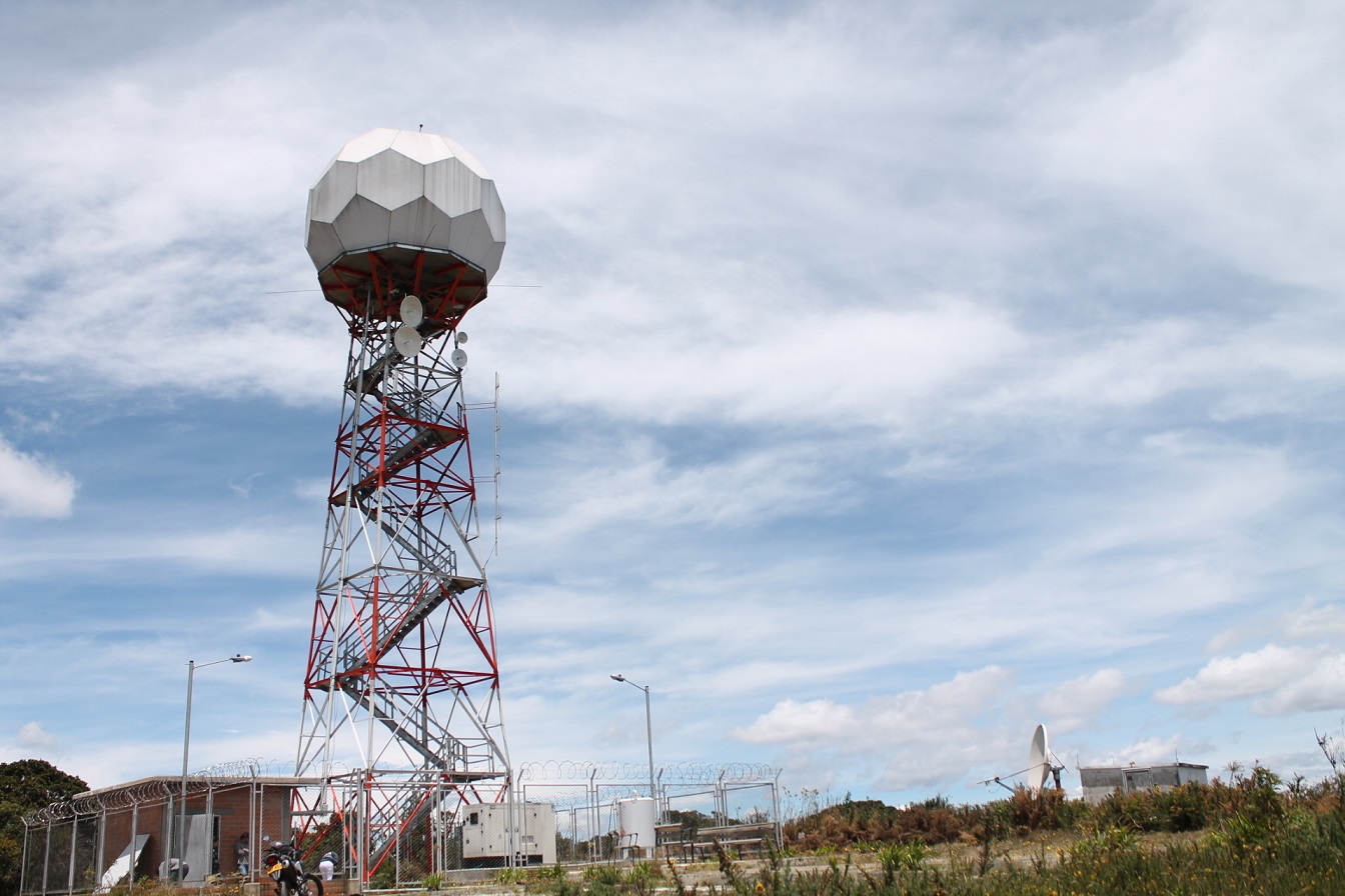 Siata early warning system - © Metropolitan area of Aburrá Valley
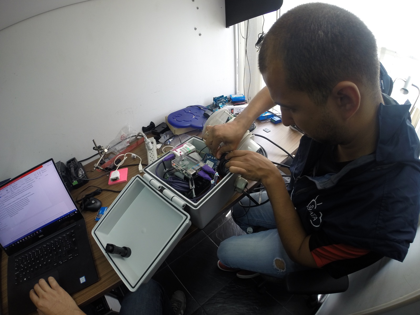 Siata early warning system - © Metropolitan area of Aburrá Valley
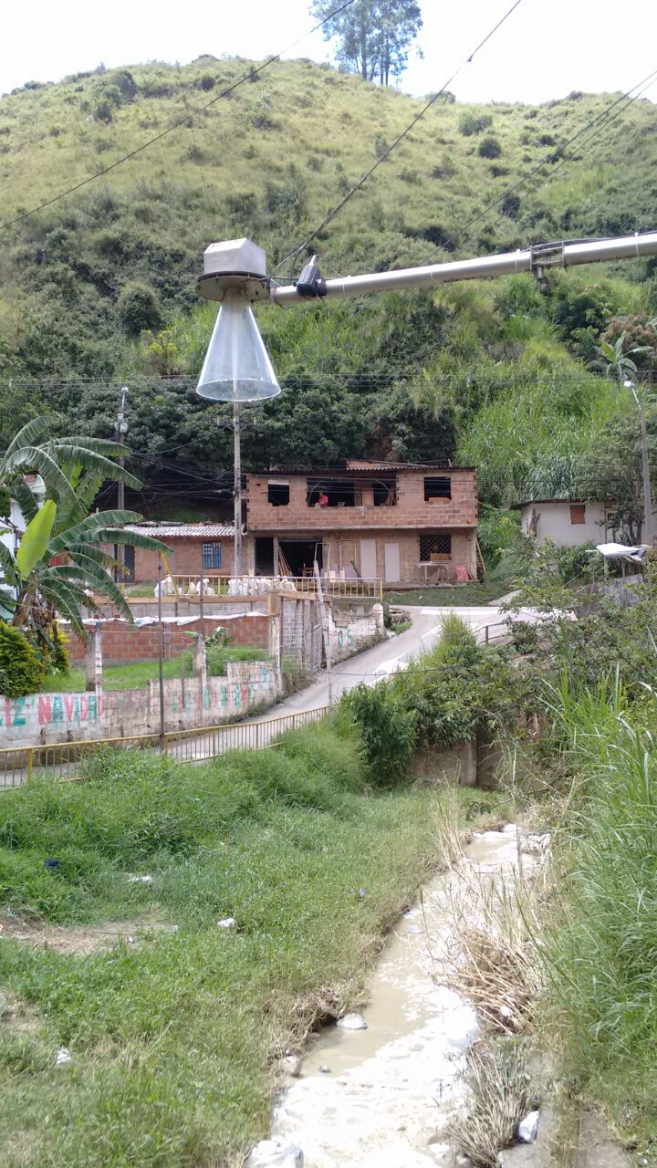 Siata early warning system - © Metropolitan area of Aburrá Valley
Item 1 of 9
Status
ongoing
50%
City
Valle de Aburrá
Main actors
Local Government, City Government, National Government, Private Sector, Public Utility
Project area
Whole City/Administrative Region
Duration
Ongoing since 2011
SIATA is a science and technology project framed in the context of risks associated with natural hazards, sustainability, and the development of smart cities.
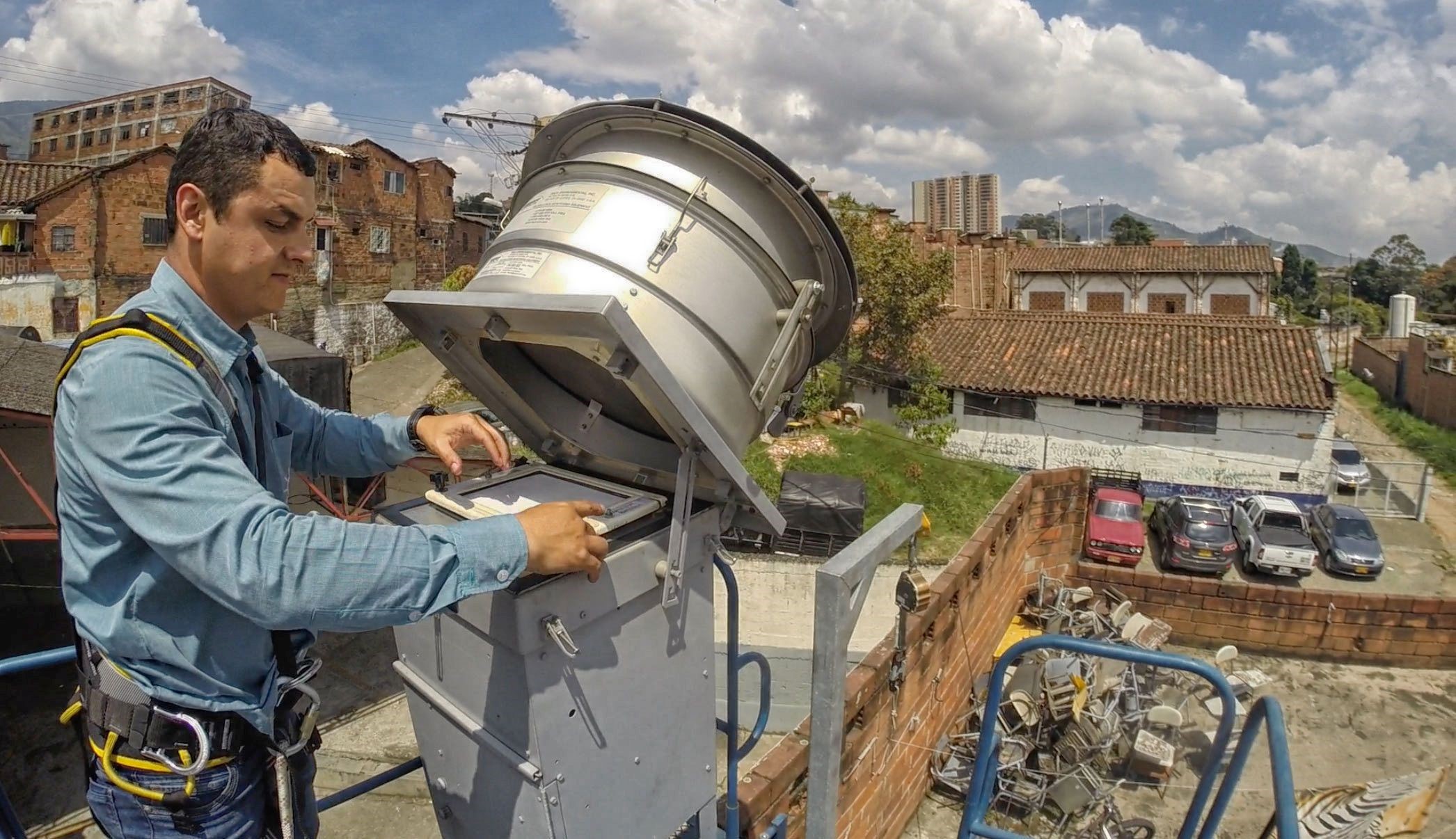
SIATA monitors environmental conditions, identifies threats and emergencies and informs the decision-making process of response agencies in situations of extreme weather events. The system provides access to information in real time to determine the likelihood of events such as heavy rains, floods, landslides, avalanches, air quality analysis, electrical discharge and areas where fires may occur.
SIATA is developed by a team of professionals that ensures the system adapts to the needs and risks of the region. The project has unique characteristics and represents one of the main environmental risk management strategies in Colombia.
SIATA is a project of the Metropolitan Area of the Aburra Valley (AMVA) and the Mayor's Office of Medellin and has the support and contributions of Medellin´s Public Enterprises (EPM) and Power generation, project construction and marketing of energy solutions (ISAGEN).
External links / documents
On Map
The Map will be displayed after accepting cookie policy
Want to know more about this project?

Photo gallery