Size and population development
According to statistical data from Kampala Capital City Authority the 2019. Population of the city was 1,650,800 with a density of 8,228 people per square km. The annual population growth rate was recorded at 5.07%. The population gender breakdown is 53% female and 47% male.
Population composition
Kampala has a diverse ethnic population drawn from all parts of the country and from neighbouring countries such as Democratic Republic of the Congo, Rwanda, South Sudan, Eritrea, and small communities from India and China. Officially Kampala hosts over 98,000 refugees from 25 countries, however, the actual numbers of refugees may be significantly higher with a large portion being unregistered in the city. The rate of refugee arrival to Kampala exceeds the rate of urbanisation of the city, meaning that an increasing percentage of the city population will be refugees in the short-term. The majority of refugees in Kampala are Congolese and Somalis with smaller populations of Eritrean, Burundian, South Sudanese, Rwandese, and Ethiopians. Although many Kampala residents have been born and brought up in the city, they still define themselves by their tribal roots and speak their ancestral languages. This is more evident in the suburbs, where tribal languages are spoken widely alongside English, Luganda, and Swahili.
Main functions
Kampala covers a total of 189.3 square Kms, 23% of its area is fully urbanised, 60% semi-urbanised and the rest considered as rural settlements. The city borders Lake Victoria, East Africa's largest lake.
Main industries / business
Situated in the country’s most prosperous agricultural section, Kampala exports coffee, cotton, tea, tobacco, and sugar. The city has numerous food, metal-products, and furniture enterprises and a tractor-assembly plant. It is the headquarters for most of Uganda’s large firms.
Sources for city budget
KCCA draws its budget for public expenditure largely from property tax, fees, operating revenues, other taxes and subsides from the National Government of Uganda.
Political structure
Kampala Capital City Authority is the legal entity, established by the Ugandan Parliament, that is responsible for the operations of the Capital City. The Lord Mayor is the political head of the Capital City and presides over all meetings of the Authority, performs ceremonial and civic functions, hosts foreign and local dignitaries, heads the Authority in developing strategies and programmes for the development of the Capital City, monitors the administration, provides guidance to the division administration and represents the Capital city on the Metropolitan Authority.
Administrative structure
The KCCA consists of the following members:
(a) Lord Mayor (b) Deputy Lord Mayor (c) one councillor directly elected by secret ballot to represent each electoral area in the Capital City on the basis of universal adult suffrage (d) two councillors representing the youth, one of whom shall be female (e) two councillors with disability representing persons with disabilities, one of whom shall be female (f) women councillors forming one third of the Council such that the councillors elected under paragraphs c, d and e shall form two thirds of the Council, (g) two councillors representing the workers, one of whom shall be female; and (II) two councillors representing the elderly, one of whom shall be female
Kampala is currently divided into 5 urban Divisions: Central, Kawempe, Lubaga, Makindye and Nakawa. There are five Division Urban Councils which are headed by the Division Chairpersons who are also known as the Division Mayors.
Website
http://www.kcca.go.ug
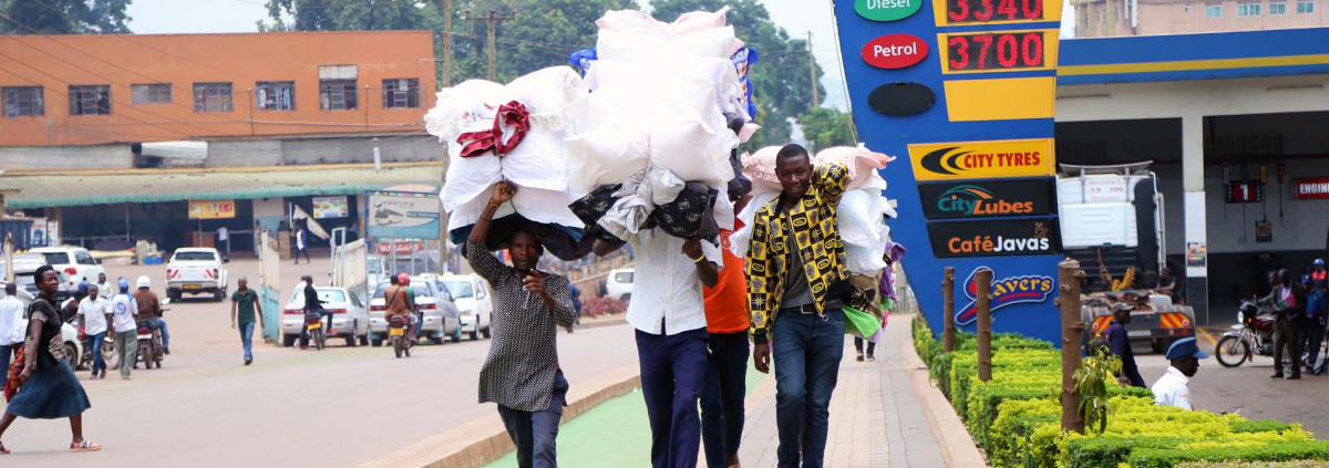 - © Connective Cities
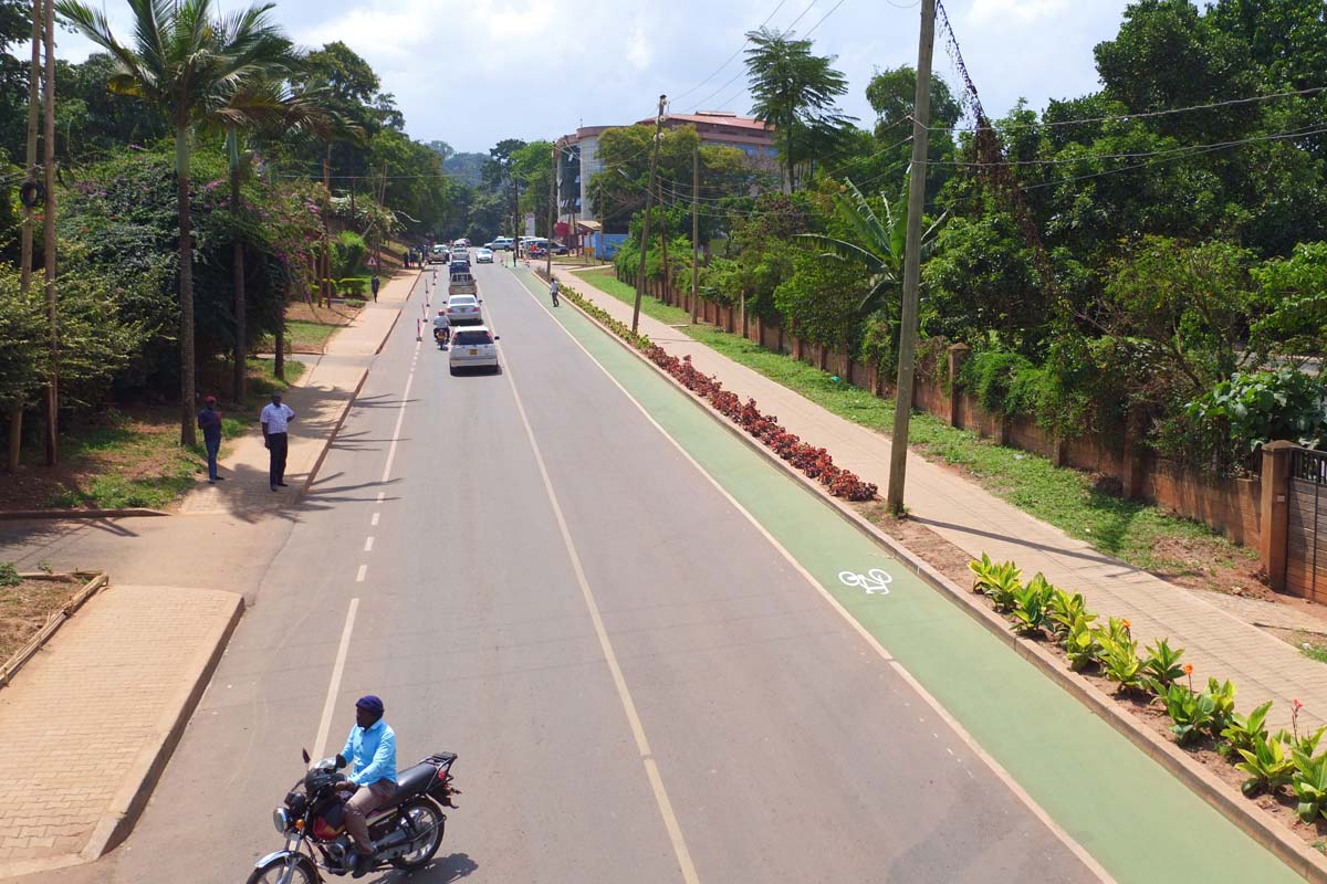 - © Connective Cities
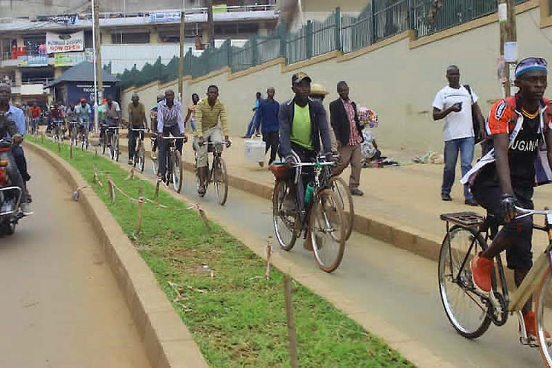 - © Connective Cities
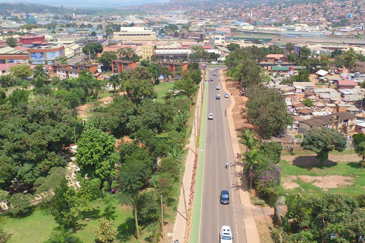 - © Connective Cities