 Walkable Helsinki - © Maptionnaire
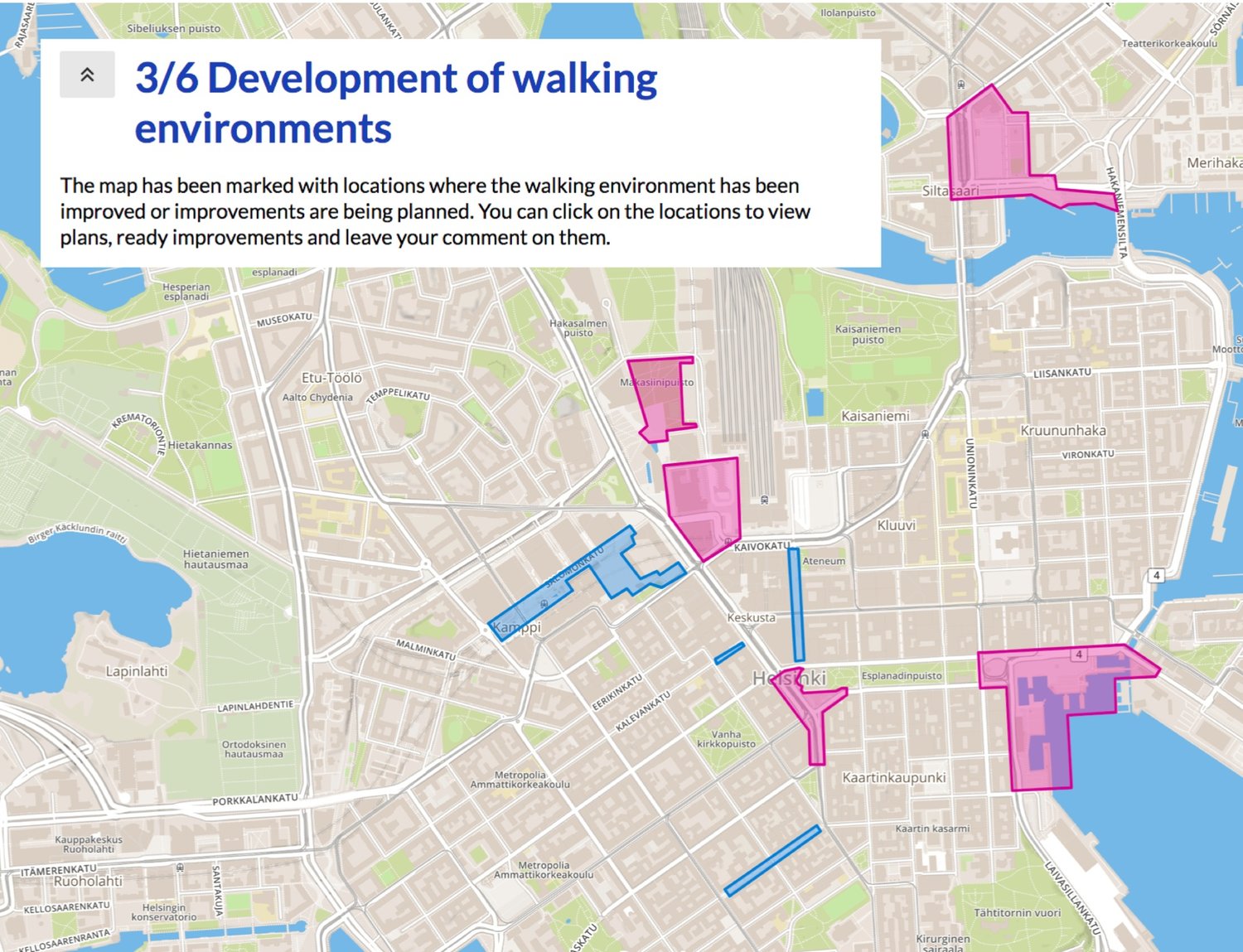 Walkable Helsinki - © Maptionnaire
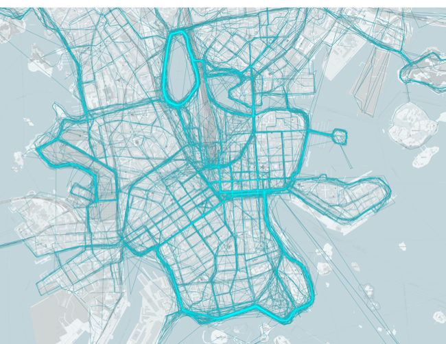 Walkable Helsinki - map of recreational walks - © Maptionnaire
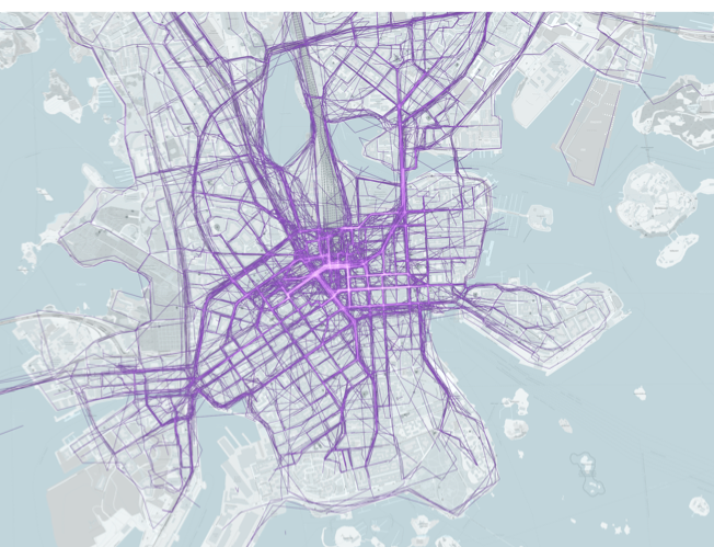 Walkable Helsinki - map of transit walks - © Maptionnaire
Item 1 of 4
Status
ongoing
50%
City
Helsinki
Main actors
City Government, Private Sector, Community / Citizen Group
Project area
Inner City
Duration
Ongoing since 2018
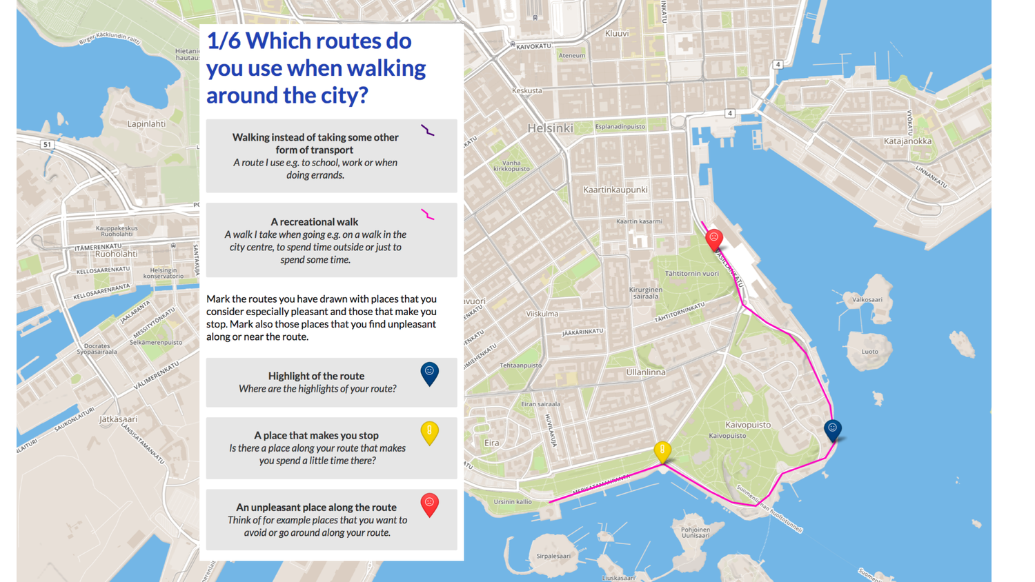
The City of Helsinki and Maptionnaire collaborated on designing a survey with the purpose of improving the walkability of the Helsinki city centre. By actively involving residents, the survey sought to gain insights into their individual concerns and preferences regarding walking in the area. By utilizing Maptionnaire's mapping tool, the survey efficiently collected valuable GIS supported data on the residents' experiences, identifying obstacles and opportunities for improvement. The findings from the survey helped inform urban planners and policymakers about the necessary steps to create a pedestrian-friendly environment that integrates seamlessly into people's lifestyles.
On Map
The Map will be displayed after accepting cookie policy
Want to know more about this project?

Photo gallery


