 The Schöneberg Loop, Berlin, Germany - © By Lienhard Schulz (Own work) [CC BY-SA 3.0 (http://creativecommons.org/licenses/by-sa/3.0)], via Wikimedia Commons
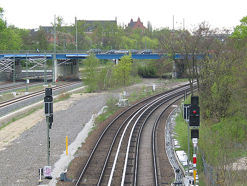 - © Martin Schwarz
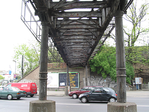 - © Martin Schwarz
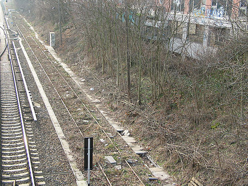 - © Martin Schwarz
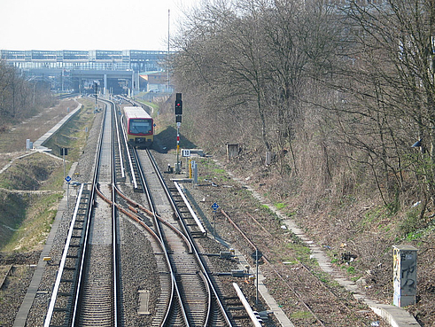 - © Martin Schwarz
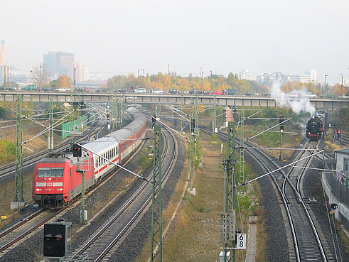 - © Martin Schwarz
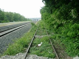 - © Bezirksamt Tempelhof-Schöneberg
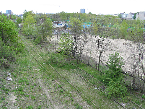 The Schöneberg Loop, Berlin, Germany - © Martin Schwarz
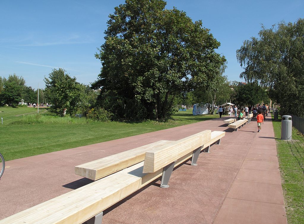 The Schöneberg Loop, Berlin, Germany - © By Lienhard Schulz (Own work) [CC BY-SA 3.0 (http://creativecommons.org/licenses/by-sa/3.0)], via Wikimedia Commons
Item 1 of 9
Status
completed
100%
City
Berlin
Main actors
Local Government, City Government, Private Sector, Community / Citizen Group
Project area
Inner City
Duration
2010 - 2017
Through the so-called “Schöneberg Loop” (Schöneberger Schleife), Berlin is striving to expand the network of different urban spaces located in the area of "Südkreuz". Designed as a green trail, the Schöneberg Loop creates a eco-friendly corridor connecting the south of Berlin with the city centre.
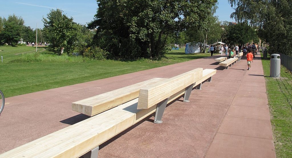
The area located around the Südkreuz station in Berlin is characterized by many transport axes that isolate the adjacent residential and industrial zones from their direct environment. The aim of the Schöneberg Loop is to better connect the different neighborhoods situated in that area through the construction of additional foot, bicycle and skater paths that form an east-west corridor. The project also strives to improve the accessibility of the Südkreuz-neighborhoods to existing green areas in the city such as the “Park am Gleisdreieck”, the “Schöneberger Südgelände” and the “Tempelhofer Feld”. The construction of a new bike path directly linking the Südkreuz-area to the “Potsdamer Platz”, one of Berlin’s most important hubs, the new north-south corridor will also improve the accessibility to the city centre. Additionally, it will help complete an important section of the national Berlin-Leipzig bicycle track.
The Schöneberg Loop will improve the living environment of Berlin residents and facilitate the access to green areas and outdoor leisure activities. The project fosters the inclusion of existing green spaces in their urban context and includes the development of new ones. Through compensation measures, the private sector has been asked to co-finance the construction of some infrastructure and social facilities. The Schöneberg Loop has been largely financed by the national program “Stadtumbau West” (“Urban Restructuring in West Germany”).
External links / documents
On Map
The Map will be displayed after accepting cookie policy
Want to know more about this project?

Photo gallery