 Ramani Huria – flood resilience in Dar es Salaam City, Tanzania - © Ramani Huria
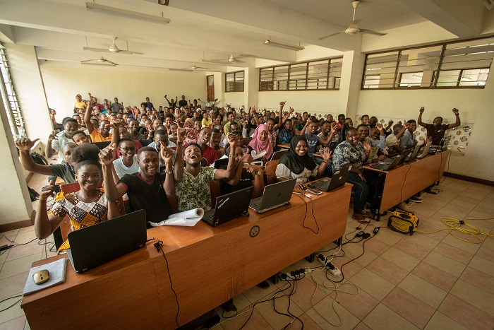 - © Ramani Huria
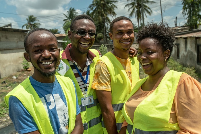 - © Ramani Huria 2.0
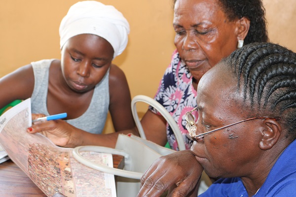 - © Ramani Huria
Item 1 of 4
Status
completed
100%
City
Dar es Salaam
Main actors
Local Government, City Government, Supranational / Intergovernmental Institutions, NGO / Philanthropy, Community / Citizen Group, Research Institutes / Universities
Project area
Neighborhood or district
Duration
2015 - 2018
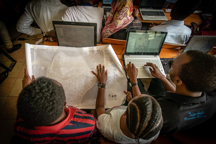
To combat natural disasters the Ramani Huria project uses community mapping to increase resilience throughout the city.
In 2015, the Ramani Huria project commenced to address the consquences of floods in Dar es Salaam. More recently Ramani Huria 2.0 was launched to continue searching for the best ways of combating floods. Subsequently, several projects have been established including: drainage mapping, asset and threat mapping and soil sampling in addition to developing elevation tools to improve flood models and flood extents. The project relies on community participation to identify areas that are the most vulnerable.
As the population of Dar es Salaam increases, so does the rate of flooding. The drainage channels remain the same width and depth and some become blocked by informal housing structures, while other drainage channels do not have outflow points such as streams, rivers, or the ocean and therefore the water is left to flow into residential areas. This is particularly serious as up to 70% of Dar es Salaam is composed of informal housing settlements.
City to City Barcelona FAD Award
This project was shortlisted for the 'City to City Barcelona FAD Award' in 2018.
External links / documents
On Map
The Map will be displayed after accepting cookie policy
Want to know more about this project?
Photo gallery


