 - © courtesy of Maria Eugenia Cichero, City of Paraná
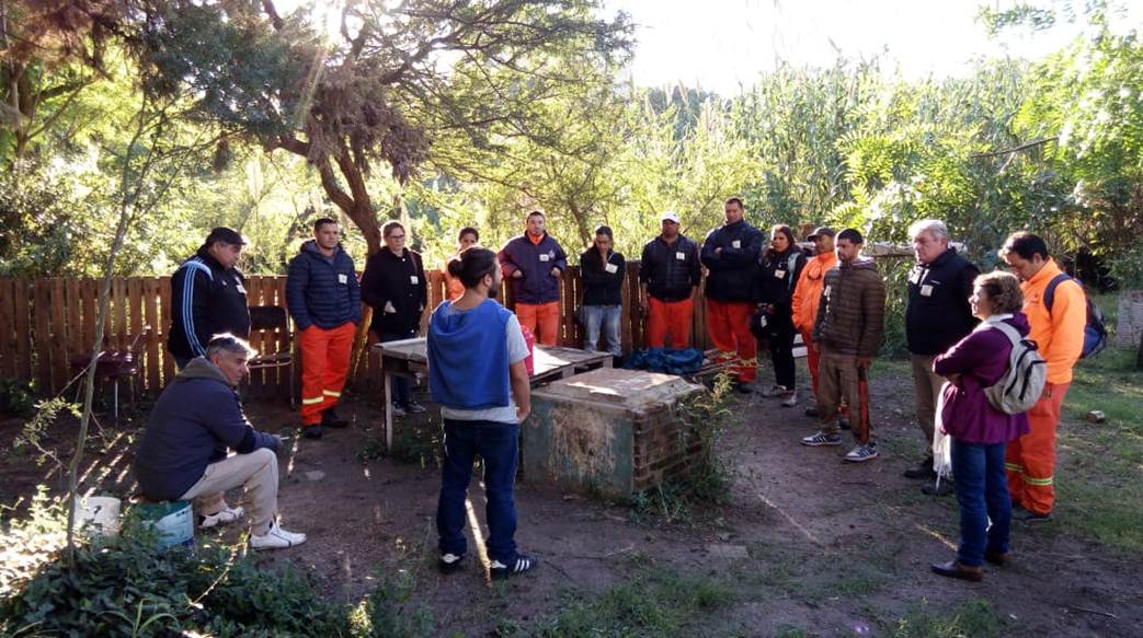 - © courtesy of Maria Eugenia Cichero, City of Paraná
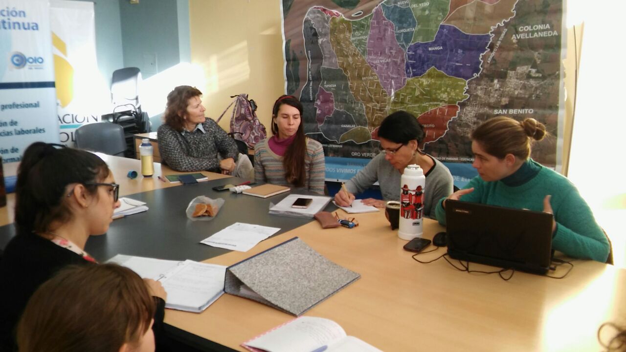 - © courtesy of Maria Eugenia Cichero, City of Paraná
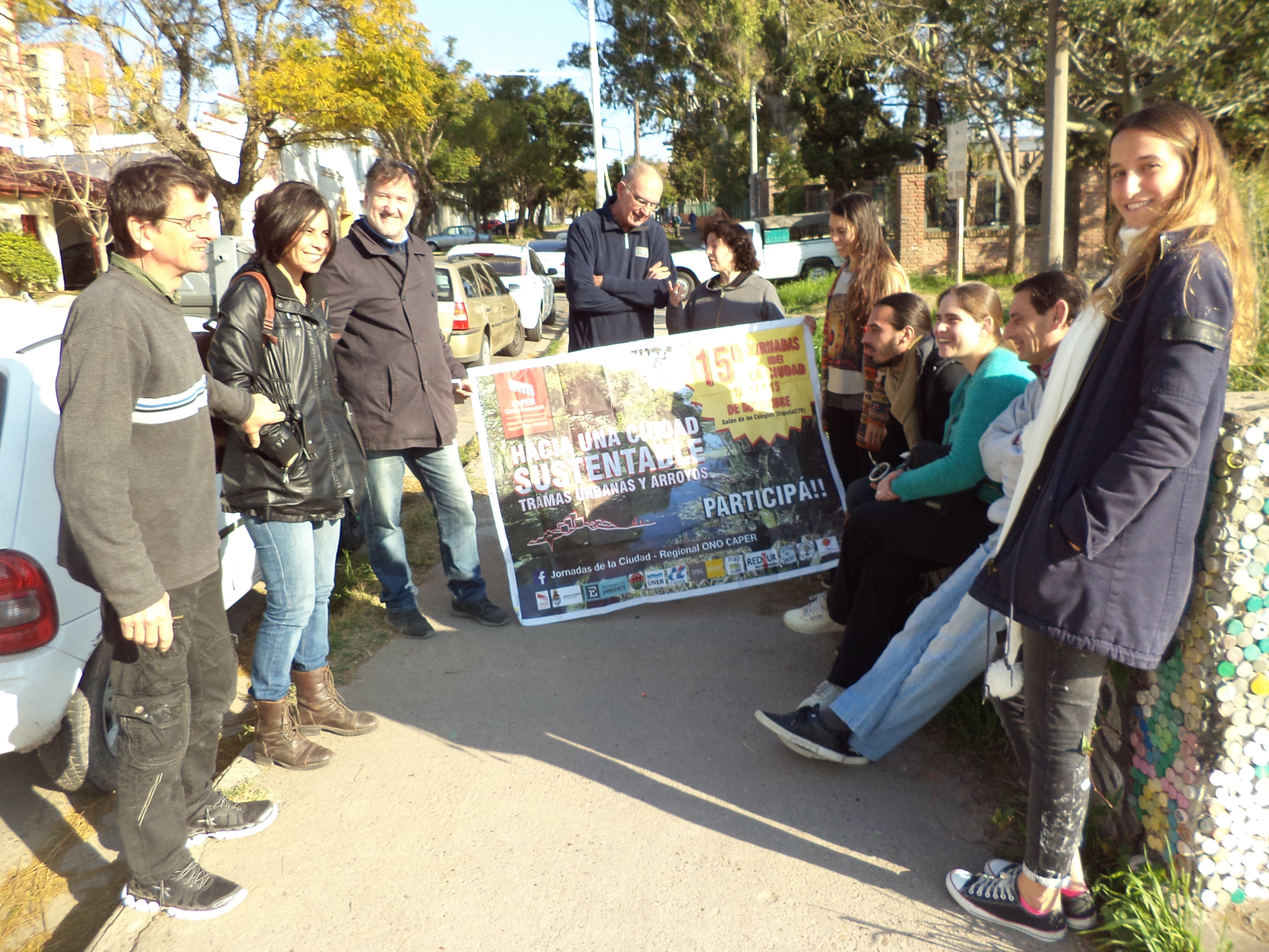 - © courtesy of Maria Eugenia Cichero, City of Paraná
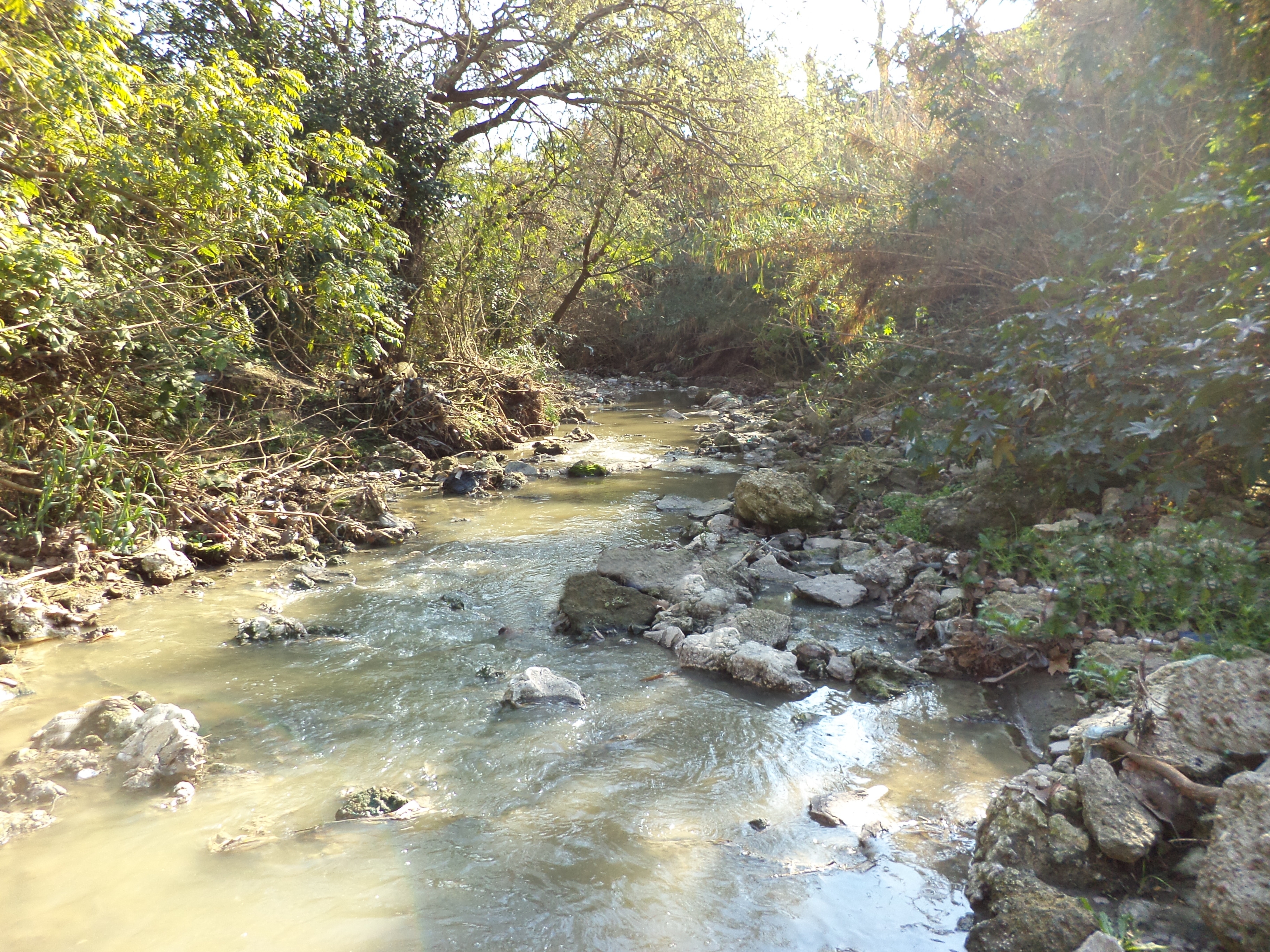 - © courtesy of Maria Eugenia Cichero, City of Paraná
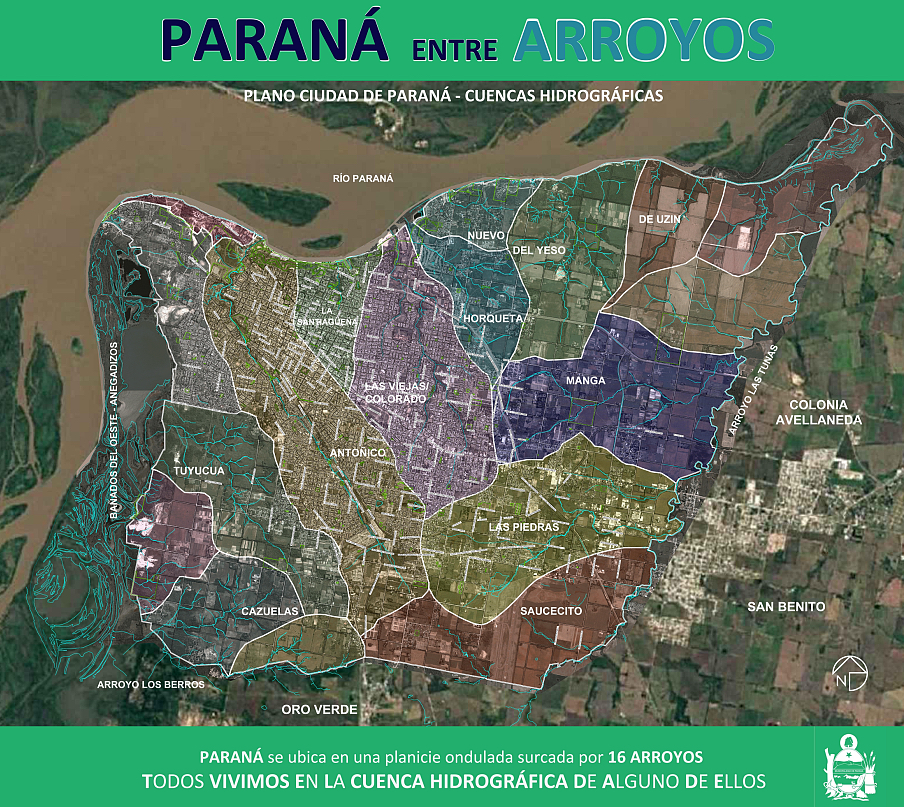 - © courtesy of Maria Eugenia Cichero, City of Paraná
Item 1 of 6
Status
ongoing
50%
City
Paraná
Main actors
City Government, Community / Citizen Group, Research Institutes / Universities
Project area
Whole City/Administrative Region
Duration
Ongoing since 2014
Local government and residents work collaboratively on an environmental renewal project.
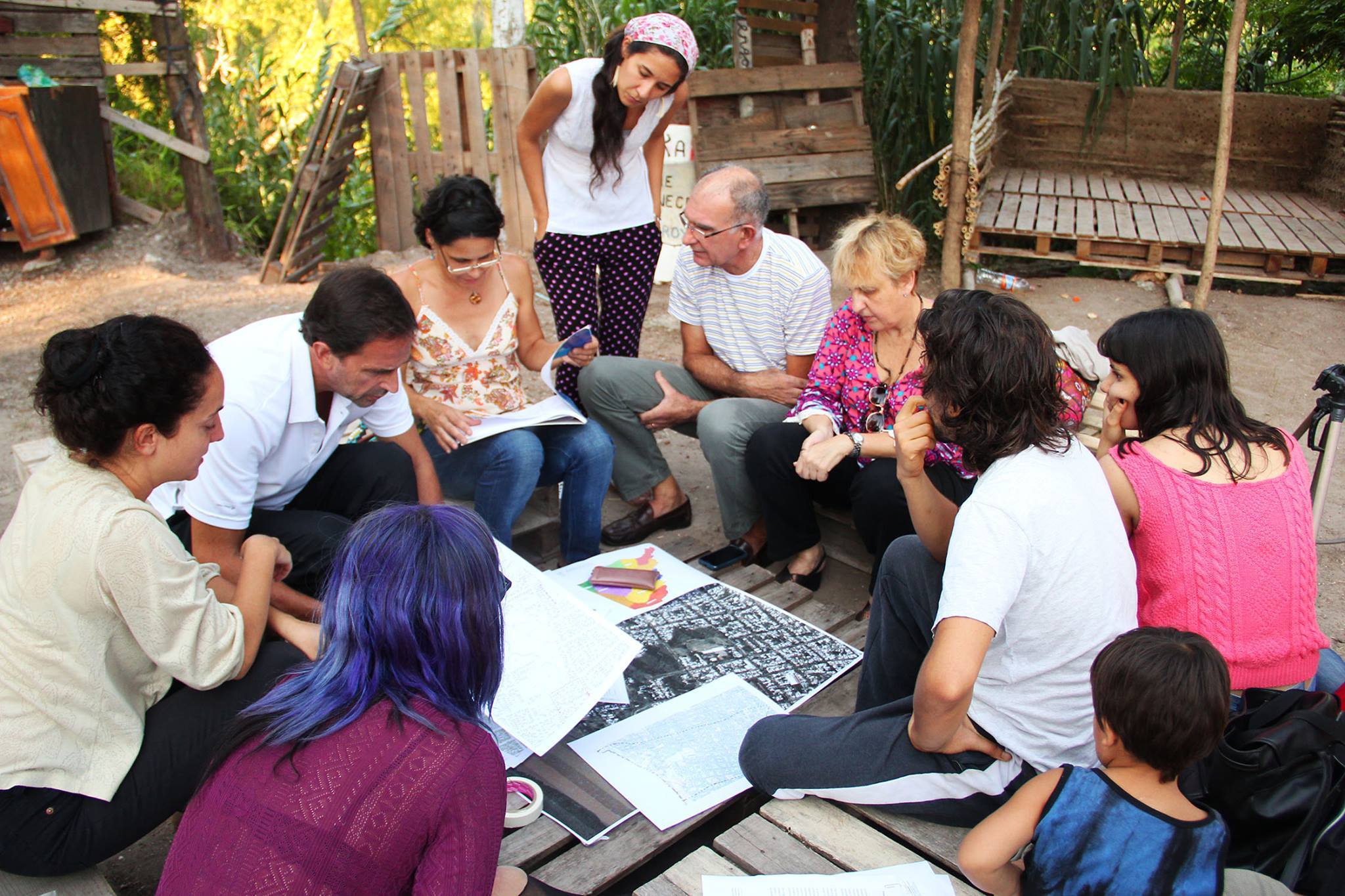
The City of Paraná has implemented a strategy that facilitates citizen participation in the environmental management of the cities 16 streams. Responding to a resident’s groups concern about the deterioration of the streams, 16 separate committees (Comites de Cuencas) have been established to improve communication between residents, neighbourhood associations and city officials. Working with the Departments of Sustainable Environment and Planning to further develop strategies and plans, the committees have identified challenges and some possible solutions.
In addition, the Committees have facilitated the management and allocation of budgets for the development of linear parks and environmental remediation projects and have also provided public access to information collected by the government, such as maximum flood levels, and water/soil quality surveys for each water basin. Furthermore, the committees have collaborated with local NGOs to promote environmental awareness and increase capacity building in maintenance and cleaning to safeguard the environmental value of the streams.
This case study was contributed from the UCLG Learning Team.
Peer Learning Note #26: Climate Resilience and Urban Development


External links / documents
On Map
The Map will be displayed after accepting cookie policy
Want to know more about this project?
Photo gallery


