 - © Jordi Surroca
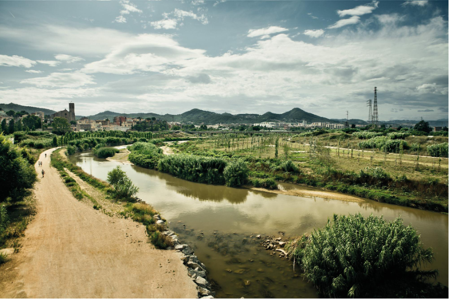 - © Jordi Surroca
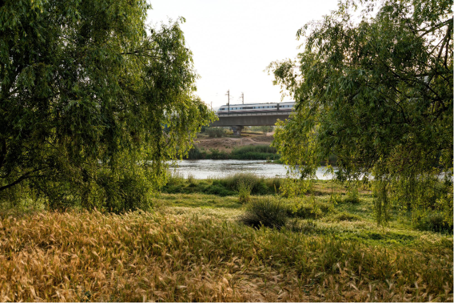 - © María José Reyes
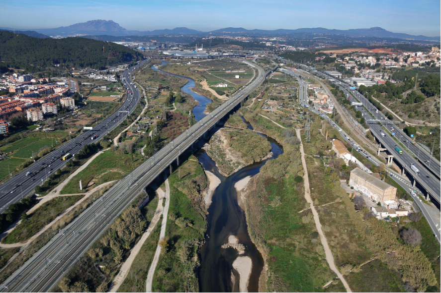 - © Manuel Jurado Arxiu Aeri
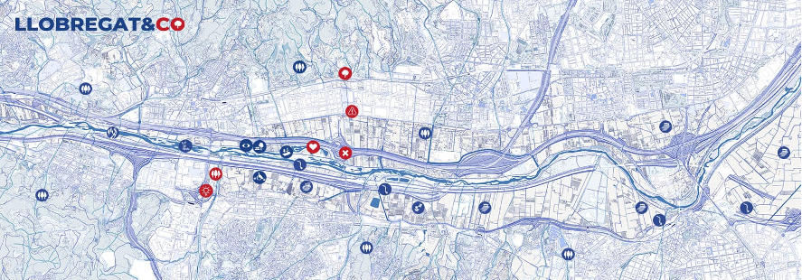
Item 1 of 5
Status
ongoing
50%
City
Barcelona (área metropolitana)
Main actors
City Government, Regional Government, Supranational / Intergovernmental Institutions, Research Institutes / Universities
Project area
Whole City/Administrative Region
Duration
Ongoing since 2020
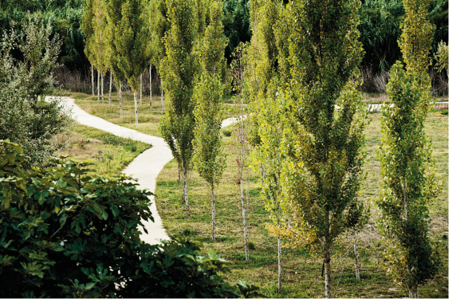
The Llobregat&Co collaborative project is exploring the potential of urban forest nature based solutions in the lower basin of the Llobregat river located in the metropolitan area of Barcelona. It involves a regional administration and a research centre in conducting co-creation workshops and collective activities to develop nature-based solutions, particularly focussed on urban forests and woods to suit the local environment. The project’s aim is to collect relevant information, fill knowledge gaps, and encourage interdisciplinary networking among people who are interested in Urban Forest – Nature Based Solutions (UF-NBS). Gamification, social mapping, and the “discovering and shared learning” concept are the key methods used for participation.
The main outcomes of the workshops were the prioritization of ecosystem services in the area, knowledge exchange about the challenges and possible UF-NBS, facilitation of networking among actors, and building a community around Llobregat&Co as a future Living Lab and base for the co-design sessions. These outcomes have been georeferenced and made available on an online viewer, for easy visualisation and sharing.
This case study is from the CLEARING HOUSE project, funded from the European Union’s Horizon 2020 Research and Innovation Program under Grant Agreement 821242.
On Map
The Map will be displayed after accepting cookie policy
Want to know more about this project?

Photo gallery


