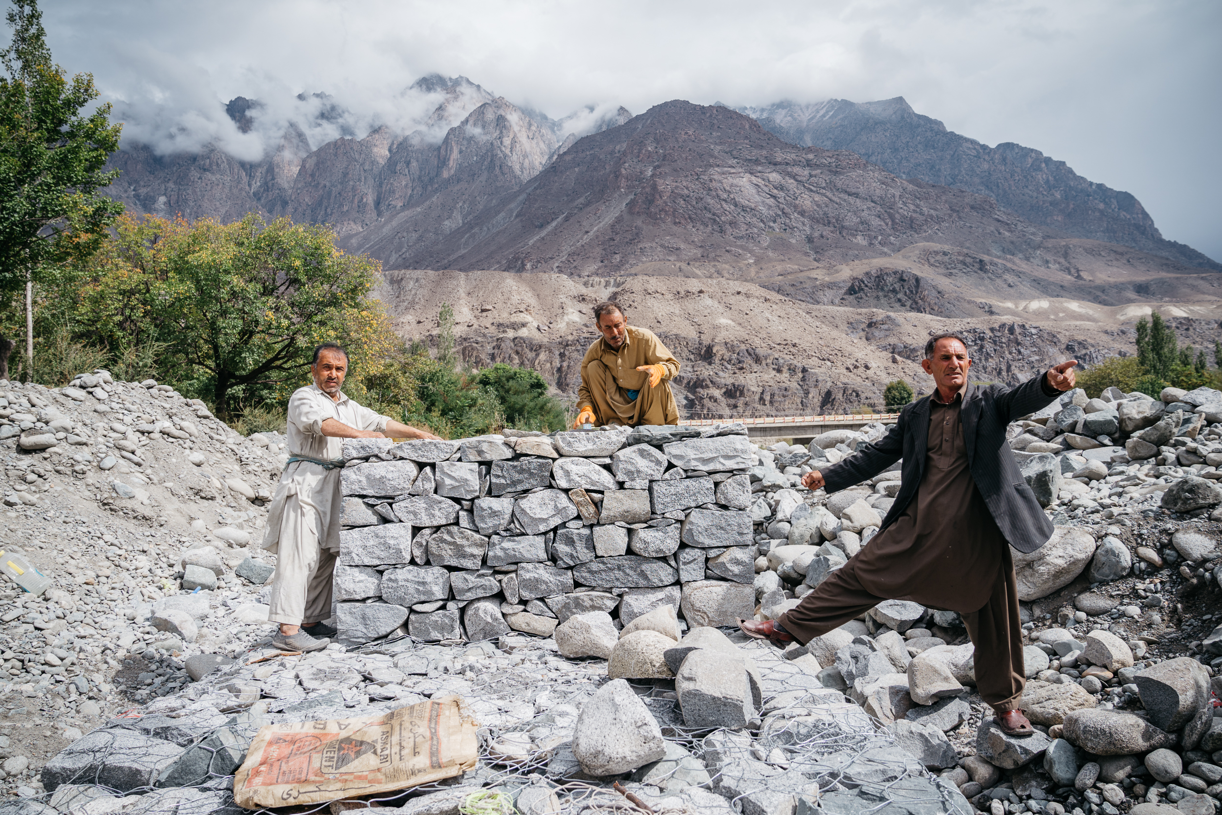
 Disaster mitigation, Singal - © Christopher Wilton-Steer
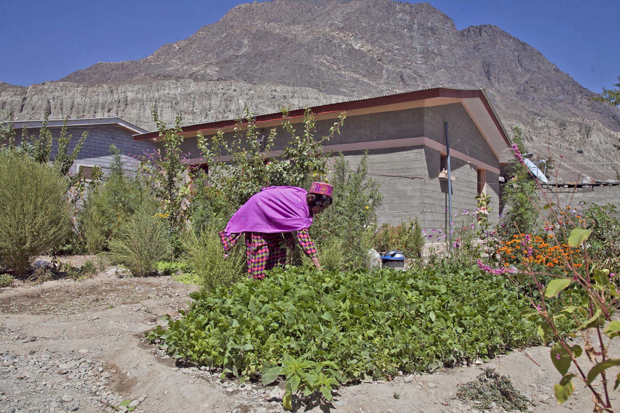 MIRP house- Woman planting - © Arman
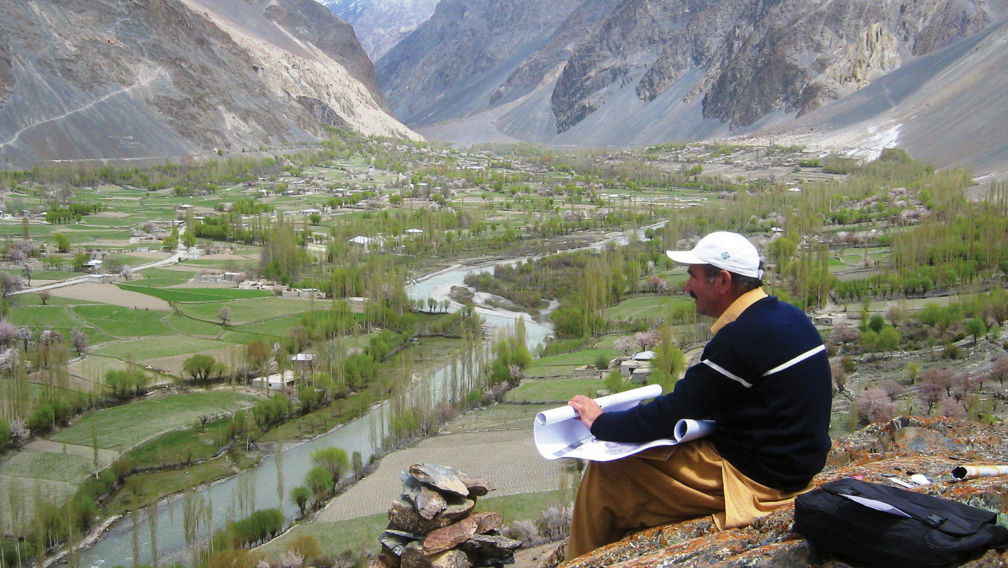 Hazard and risk map verification - © AKAH Pakistan
Item 1 of 3
Status
ongoing
50%
City
Islamabad
Main actors
NGO / Philanthropy, Community / Citizen Group, other
Project area
other
Duration
Ongoing since 2004
A proactive approach to engage citizens in disaster risk planning
The Integrating indigenous knowledge and technology for safer habitat approach set up by the Aga Khan Agency for Habitat, Pakistan (AKAH Pakistan) integrates disaster-risk management into habitat planning and development projects at village and community levels.
Integrating indigenous knowledge and technology for safer habitat uses residents’ local knowledge together with Geographic Information System (GIS) data to map risks by using satellite images and advanced risk-mapping tools. It also provides training and enables residents to build homes in safer areas using construction techniques which mitigate future disaster risks.
This is a unique approach to disaster risk reduction in Pakistan. The proactive approach of promoting hazard, vulnerability and risk assessments (HVRAs) for planning - and not only for mitigation measures - enables communities to take control, reduce their dependence on humanitarian aid and be self-reliant, reducing risks and adapting to the impacts of the climate emergency.
World Habitat Awards
This project was awarded the 'World Habitat Awards' in 2020 in the following category: Gold.
On Map
The Map will be displayed after accepting cookie policy
Want to know more about this project?
Photo gallery


