 - © City of Guangzhou
 - © City of Guangzhou
 - © City of Guangzhou
 - © City of Guangzhou
City
Guangzhou
Main actors
City Government, Regional Government, Private Sector
Project area
Whole City/Administrative Region
Duration
Ongoing since 2019
A blue-green infrastructure network to improve the environment.
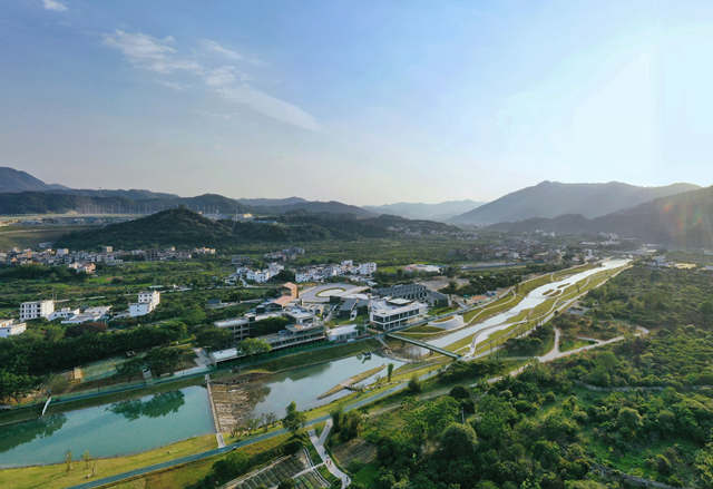
The City of Guangzhou launched the Ecological Belt Planning project in 2019. This master plan covers the overall management of mountains, water, forest, field, lake and sea. It provides a new model of river and lake management to promote the city’s urban development and high standard of living. The planning and construction of Guangzhou’s Ecological Belt is a re-conceptualization of the value of urban rivers by making full use of the linear water space to provide nature-based, systematic solutions for water treatment, industry revitalization, and urban management.
A blue-green infrastructure network has been formed to focus on water resources allocation, pollution and flood control and to improve the ecological environment of the river basin, promote urban infrastructure construction, increase utilization of space, drive the transformation and upgrading of industry, and activate the cities diversified community values. The plan addresses water treatment, shore conservation, industry management and city governance together. It builds a government-led, enterprise-involved, and public-engaged implementation framework for the Ecological Belt.
In Guangzhou, the network of 1368 rivers and 5092 kilometers of main rivers accounts for 10% of land area, and nourishes 20 million people. However, the water system, which is the most dominant natural linear space in the city, has never been comprehensively and systematically utilized. In 2019, Guangzhou launched the planning and construction of the ecological belt project in accordance with the unified plan of the Guangdong Provincial Government. It started with re-evaluating the city’s water system and selecting 2000 kilometers of water corridor. A comprehensive plan was developed with the following objectives:
- the improvement of water quality
- river restoration
- ecological conservation
- waterfront life revival
- urban redevelopment.
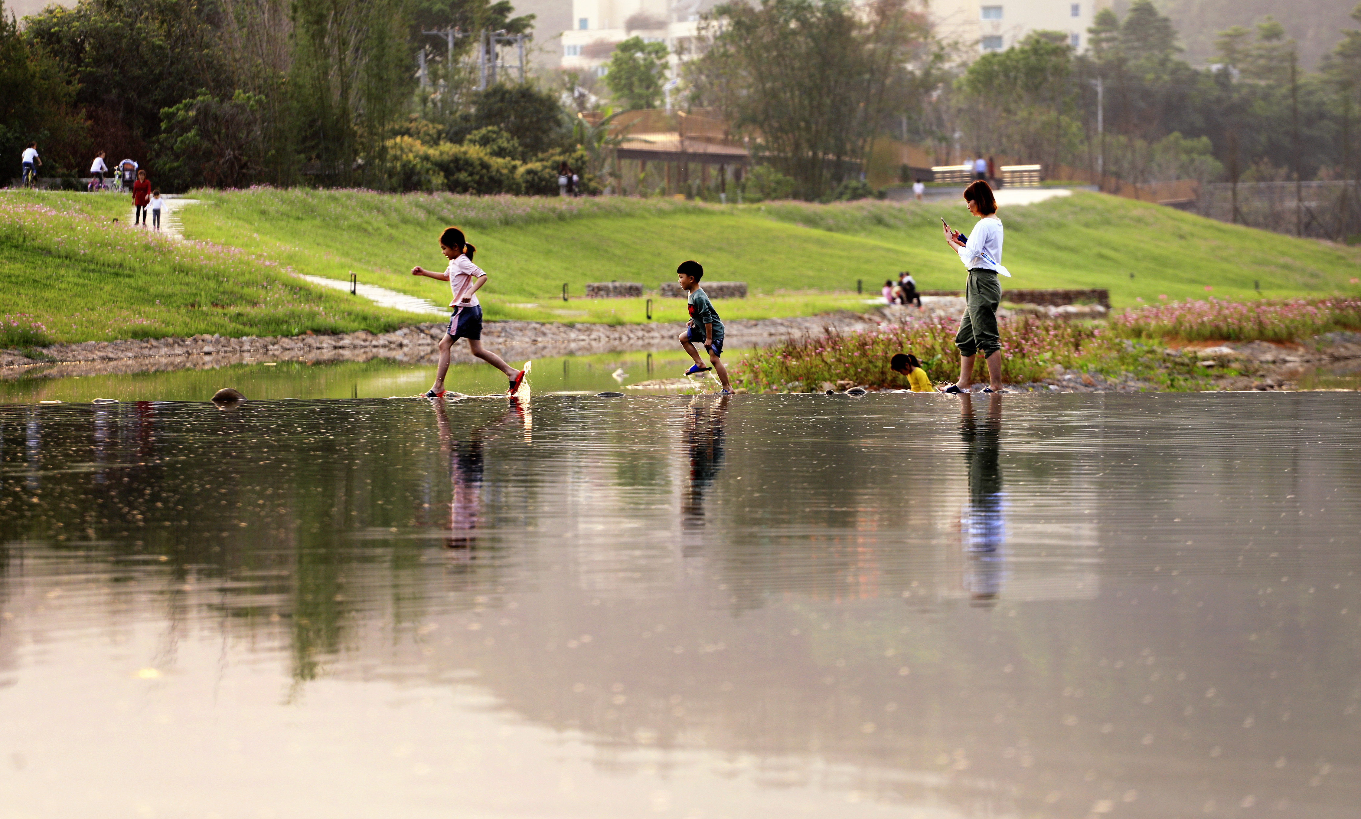
The Ecological Belt helps to create safe flooding corridors with free-flowing rivers, clear nature corridors for animals, cultural and leisure corridors for citizens, and a vibrant economic belt.
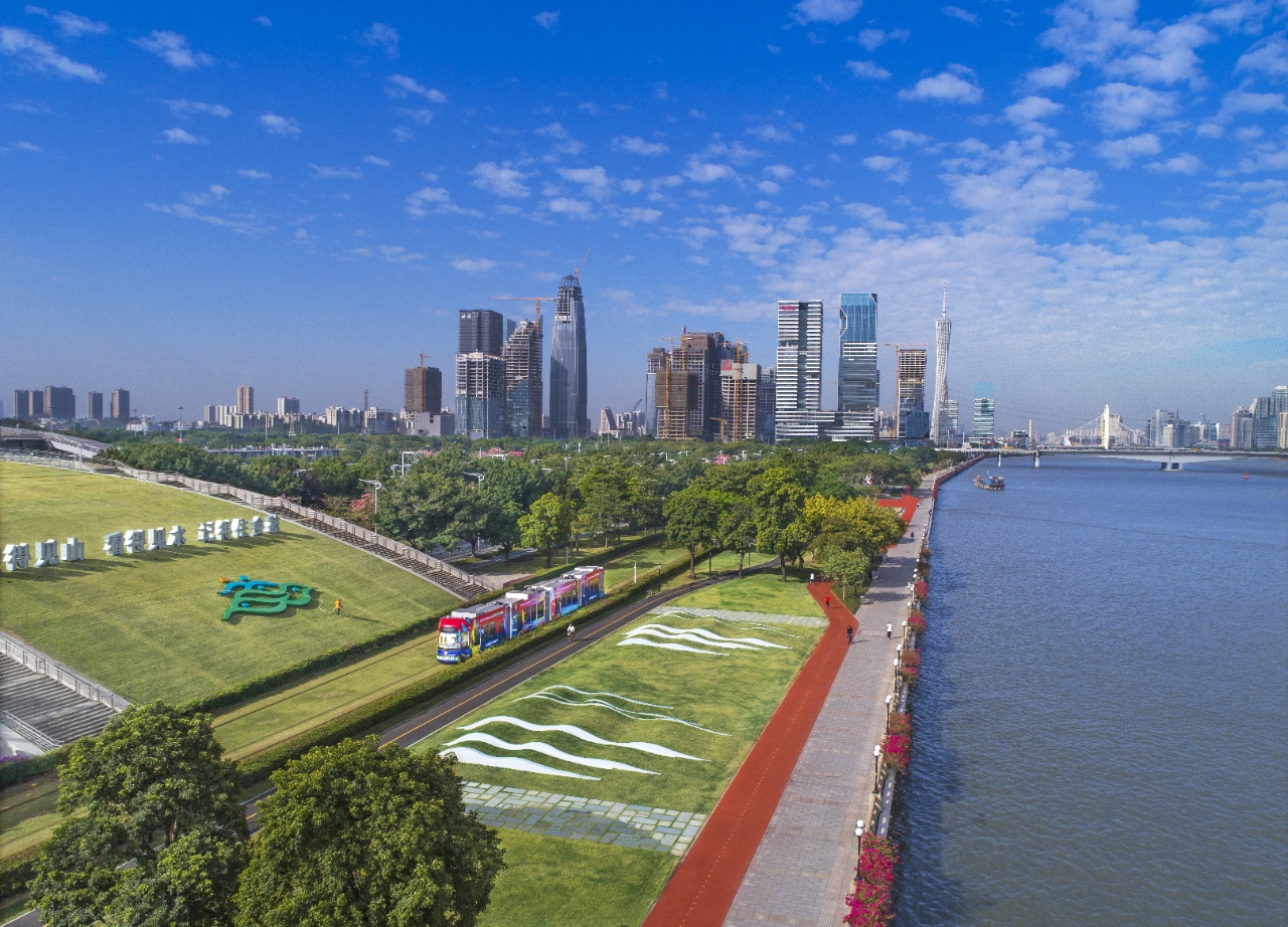
Guangzhou Ecological Belt Master Plan and Implementation creatively proposed the "eight pathway and three belts" spatial paradigm of "water corridor, wind corridor, fish corridor, bird corridor, touring path, walking path, jogging path and cycling path" in parallel with „waterfront economic belt, cultural belt and landscape belt”. It coordinates the spatial resources of the water shore and city to build a multi-layered network of "Stream - Creek - River – Grand River - Sea". Furthermore, this is an exploration of the multi-faceted integration mode of "Ecological Belt +" according to local conditions, to realize the coordination of water management, industry management and city management. Specifically, Guangzhou will promote the construction of blue channels in the following five aspects:
System: explore the establishment of a "whole-basin, all-round, whole-process" mega-city integrated water environment management system. The first priority is to conduct basin-wide planning, set control indicators, and delineate the control line and buffer zone of the river to promote the coordinated development of ecology, economy, culture and society. The second priority is to carry out the River Chief Ordinance as a platform to develop a five-year implementation plan, requiring the city, district and street-level River Chiefs to participate in the construction of the river, integrating and coordinating the work of water-related departments, special funds and project arrangements, and coalescing the city's strength to administrate rivers. The third priority is to establish an assessment and evaluation system for the ecological belt projects that have been implemented and which will be included in the annual assessment results of the River Chief system.
Mode: "Eight channels and three belts, water and land managed together" urban governance model. It focuses on delivering 42 water sources, 59 riverine islands, 22 water bird corridors, 16 water bird habitats, 16 urban fish passages and 11 urban wind corridors to realize the shift from static "blue and green space protection" to dynamic "biodiversity cultivation". This will come about through bridging 76 spatial gaps along the Pearl River, planning 4 pieces of 9 ecological belt theme trails and 16 mountain and sea view corridors to achieve full connection and opening of the waterfront. Additionally, the plan includes 373 kilometers of water sports, an industry belt containing 85 industrial areas, promoting 43 sites of restored ancient villages and exploring 48 new areas of value to promote high-quality new development.
Methodology: Complying with the City’s water management rules, develop working guidelines for design, construction and maintenance. Ten construction guidelines and modules that can be replicated and promoted were proposed. The core design points were expressed in intuitive and easy-to-understand graphics through design parameters, diagrams, and material lists, so that citizens can understand them and professionals can use them. The Technical Guide for Guangzhou Ecological Belt Design has been published and the design toolbox of "ten modules and three controls" has also been developed.
Technology: "Digitalization, platform and smart" technical support. Technically, it captures more than 80,000 data of urban basic information, cell phone signaling data and crowd behavior trajectory in 4 categories and 29 types to support multi-scale and multi-factor planning and construction. On the implementation, it embeds ecological belt construction and management into the River Chief APP, which can be checked, updated instantly, diagnosed in real time and visualized to achieve targeted purpose and make water management accessible to all.
Path: "Progressive, multi-channel, participatory" path for the whole society to achieve. The first task is to divide the 4 types and 3 levels of standards of ecological belt, giving priority to the construction of basic projects, and then gradually increase the provision of facilities in line with the needs of the public. Secondly, design teams are invited to design micro spaces, micro structures, water conservation facilities and service stations along the waterway to improve the quality of key space nodes. Thirdly, promotional activities that highlight the increase in quality of life from the ecological belt to the public include press conferences, photography contests, brochures and APP promotions. Fourthly, Guangzhou initiated the development of land along the ecological belt, industry generation and green finance, etc., to seek social resources to build the ecological belt together.
The implementation of Guangzhou Ecological Belt is mainly funded by government investment and supported by private investment. It is a collaborative project that comprises resources from a variety of stakeholders. City and district governments are responsible for the construction and maintenance of the ecological belt project according to the task allocation of urban governance. The total financial investment exceeds 5 billion yuan. Private financing mainly comes from the enterprises involved in the development of land and industry in the waterfront area, and the construction costs of the ecological belt facilities will be included in the costs and implemented simultaneously with the development of projects.
By the end of 2020, the City of Guangzhou has built:
513 kilometers of the ecological belt.
320 kilometers of walking paths have been added;
417 historical and cultural resources are connected.
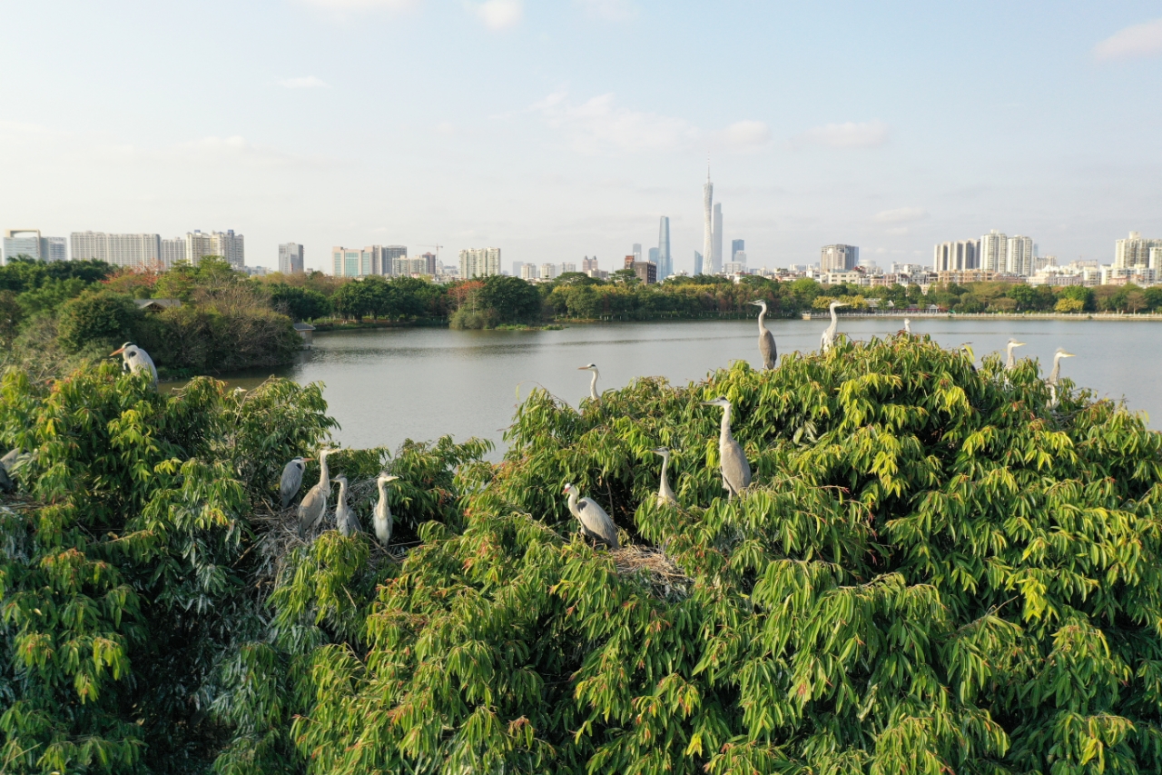
In addition, 152 kilometers of shoreline has been restored as an ecological waterfront where the ecological flow assurance degree and water quality have met the standard. Furthermore, 42 water sources and 59 riverine islands have been protected and 22 water bird corridors and wind corridors have been built. For example, the ZengJiang River ecological belt comprises 13.3 acres of bird islands that have been preserved with more than 100 bird species. In the Haizhu Wetland Ecological Belt project, bird species increased from 72 to 180, and insect species from 66 to 325.
The Guangzhou Ecological Belt Master Plan and Implementation was awarded the World Landscape Architecture Award (WLA) in the category of “Built-Urban Design” (Honorable Mention) on May 18, 2021, and the Landezine International Landscape Award (LILA) in the category of “Infrastructure” (Special Mention) on June 23.
The Guangzhou Ecological Belt Master Plan is a city-wide systematic project that covers a large area, involves a diversified group of professional stakeholders who need to collaborate over a long period of time. How to ensure the rational use of resources along the water corridors; whether we can increase the supply of ecological and cultural offerings while simultaneously protecting the water environment, restoring nature and contributing to the construction of the waterfront economic zone; whether long-term multi-sectoral work synergies can be maintained? The answers to these questions will have a bearing on the effectiveness of urban spatial management for water and rivers and will be the focus of further exploration in the future. In addition, more research is needed on how to increase the value of the surrounding land and space through the construction of the ecological belt.
The implementation of Guangzhou Ecological Belt Master Plan is an exploration of urban development that takes ecology, everyday life and production into consideration for urban governance from the perspective of a multi-faceted integration for future development. It encourages the participation of enterprises, institutions, social organizations and individuals. It is envisaged that this process will gradually result in the coordination of water, production and city management, and to ensure that the Ecological Belt is built on collaboration, participation and common interest. It provides a "Guangzhou model" for other cities to examine the mutual relationship between cities and rivers, to protect the ecology and to create resilient spaces and revive areas that are under rapid urbanization.
Case study submitted by the City of Guangzhou.
Landezine International Landscape Award (LILA): https://landezine-award.com/redefine-our-homeland-guangzhou-ecological-belt-master-plan-and-implementation/
On Map
The Map will be displayed after accepting cookie policy
