 - © TSPA Berlin
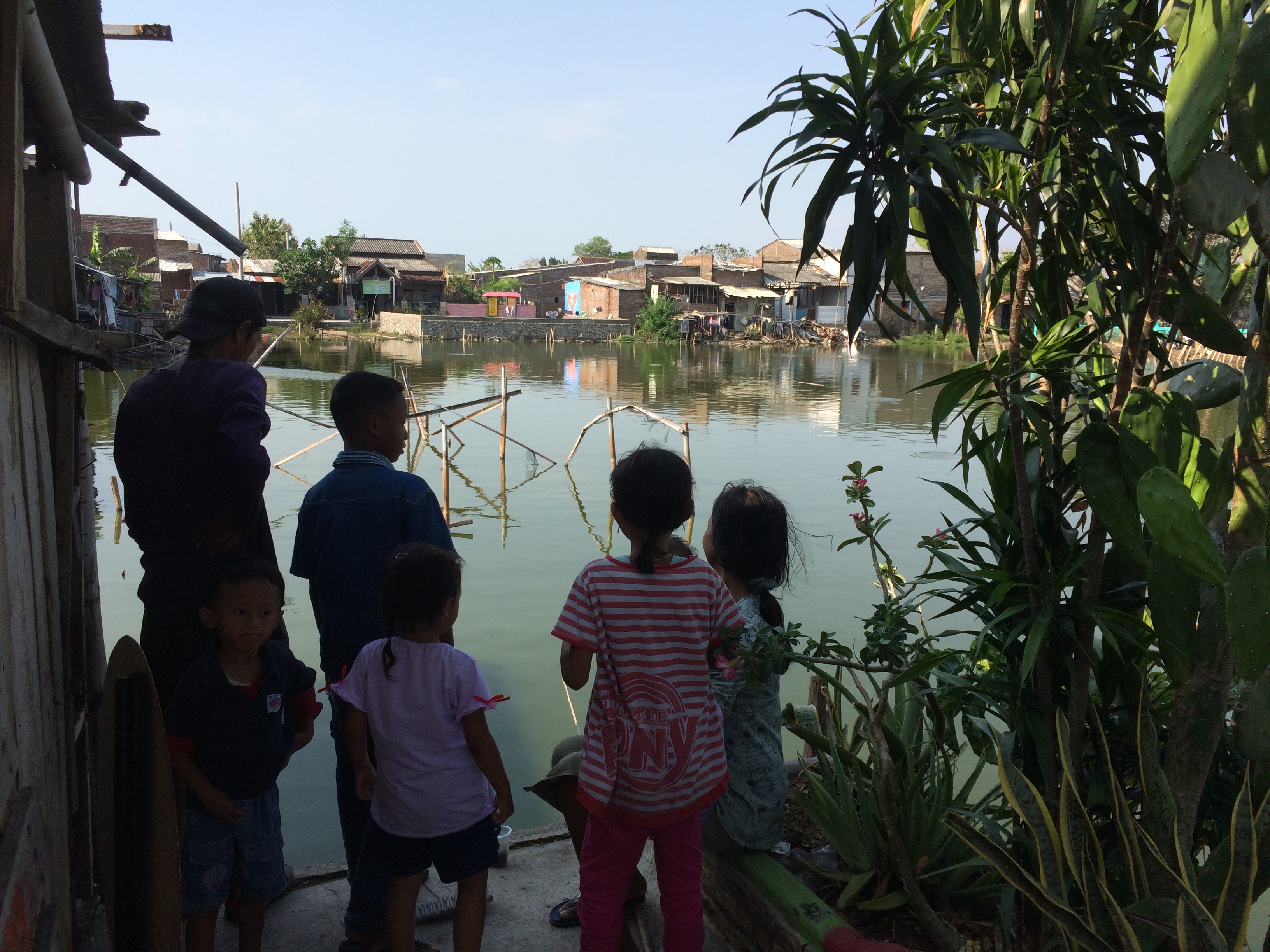 - © TSPA Berlin
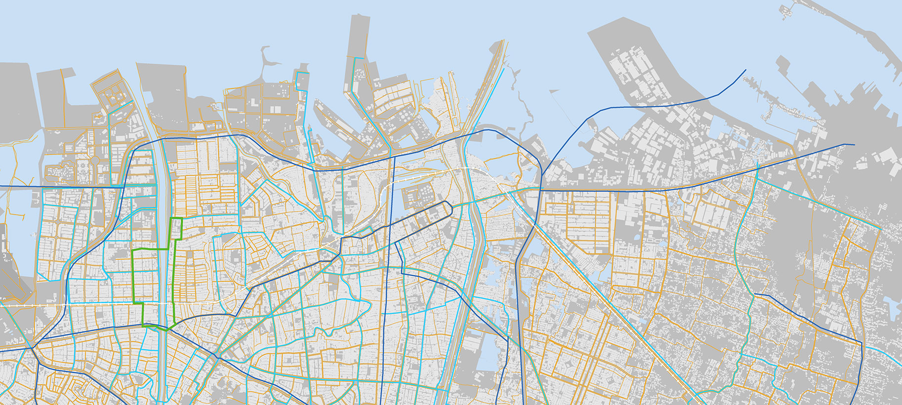 Semarang Water system - © TSPA Berlin
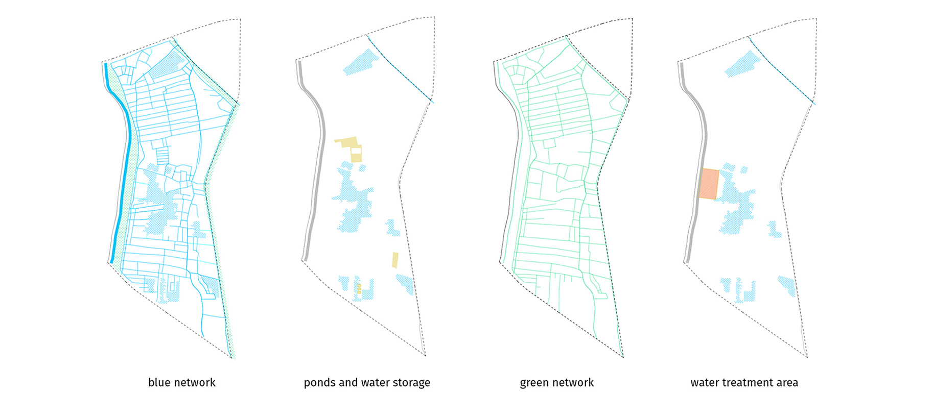 Project Clusters - © TSPA Berlin
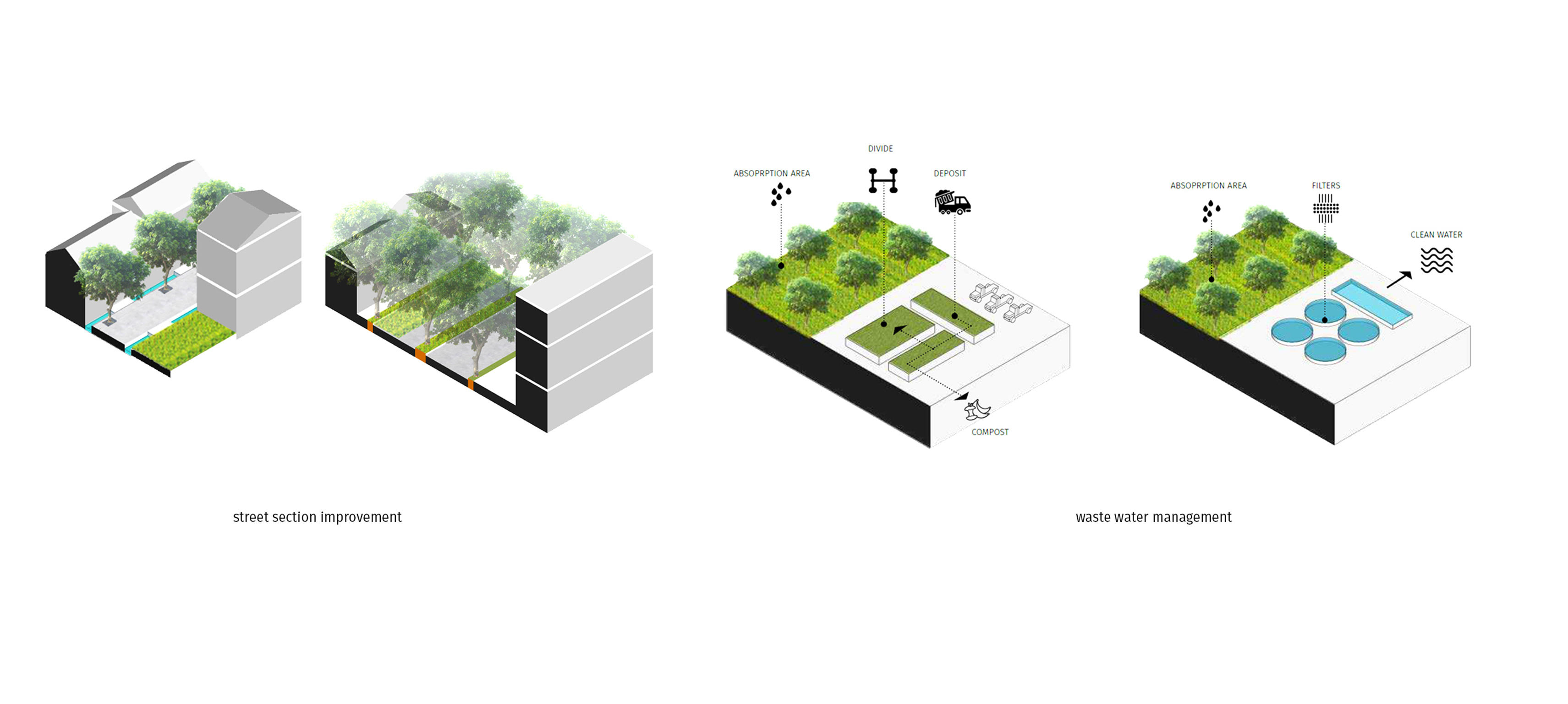 Street Section - © TSPA Berlin
- Water storage and protection strategies - © TSPA Berlin
Item 1 of 6
Status
ongoing
50%
City
Semarang
Main actors
Supranational / Intergovernmental Institutions
Project area
Inner City
Duration
Ongoing since 2018
The Ecodistrict Programme aims to develop the resilience and sustainability of Indonesian cities, with pilot projects in three cities (Yogyakarta, Semarang, Wonosobo).
The Programme is funded under the umbrella of the GCDP (Green City Development Programme) by the Agence Francaise de Developpement and implemented by a team of international experts (BERIM SA; Krill Office for Resilience Cities and Architecture; TSPA - Thomas Stellmach Planning and Architecture; Institute for Transportation & Development Policy; VRIENS & PARTNERS Pte, Ltd).
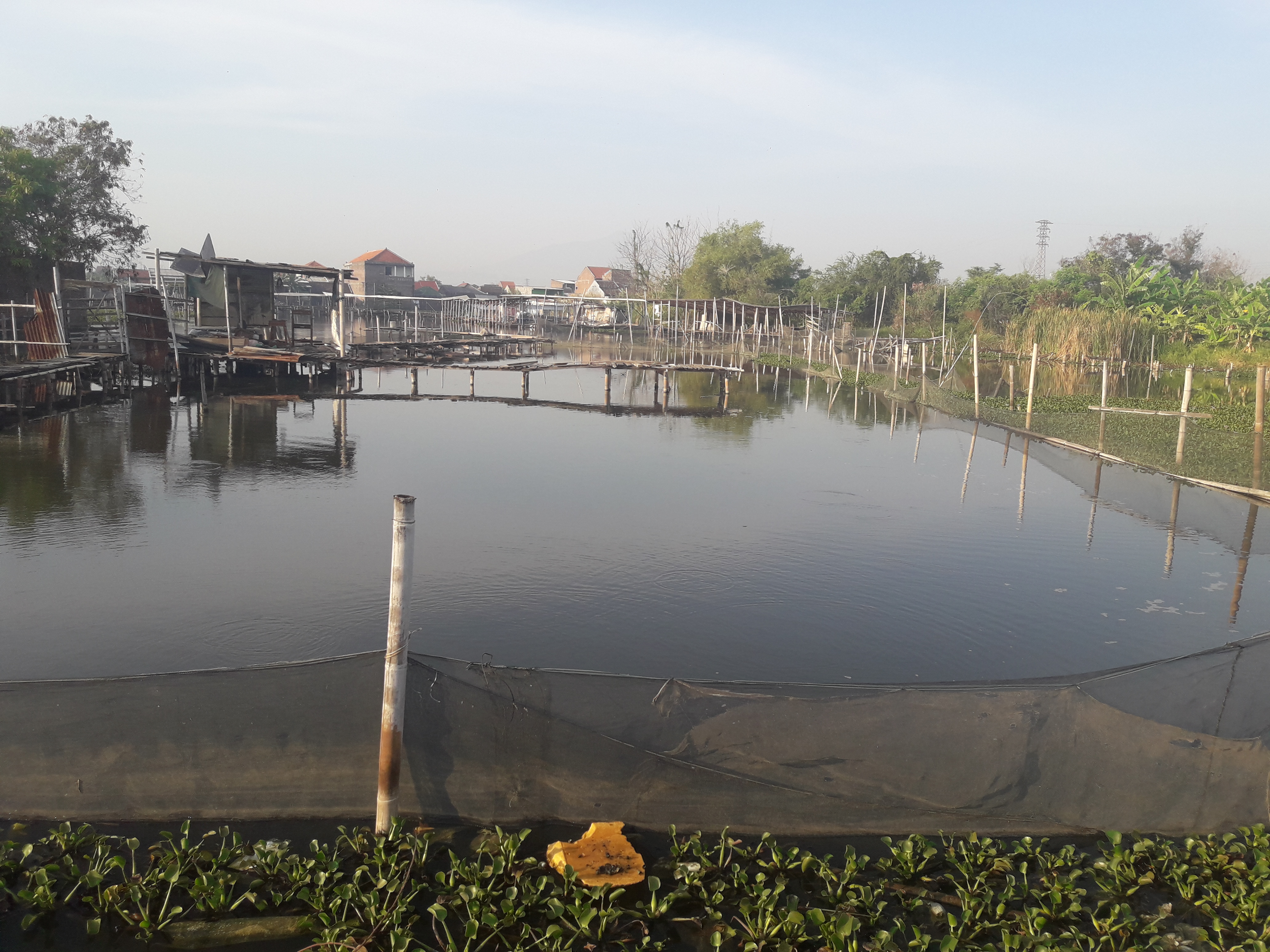
The Ecodistrict Pilot in Semarang aims to develop resilience and sustainability in two urban villages (Kaligawe and Sawah Besar) as a showcase of this intelligent water management system, and as a starting point for a sustainable transformation for the rest of the city. It serves as a common green vision for a comprehensive and resilient project that invites all stakeholders to participate in achieving this goal. Multiple small pragmatic projects are grouped into four strategic clusters to address the main issues of the area. The synergy of the projects forms the resilient framework of the future Ecodistrict.
External links / documents
On Map
The Map will be displayed after accepting cookie policy
Want to know more about this project?
Photo gallery