 Central Waterfront Area - © San Francisco Planning Department - Central Waterfront Area Plan
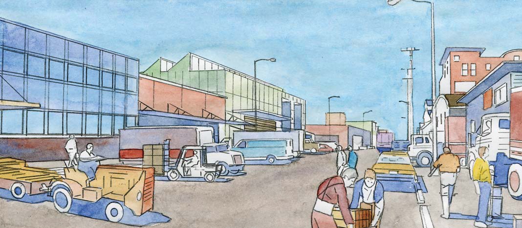 Central Waterfront Area - © San Francisco Planning Department - Central Waterfront Area Plan
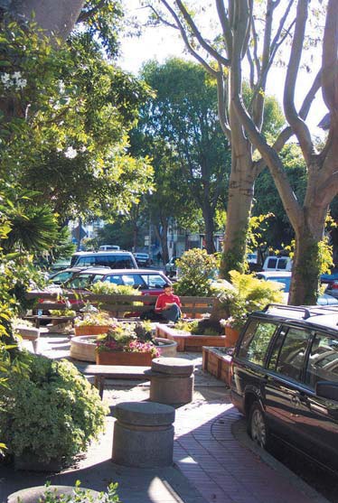 Central Waterfront Area - © San Francisco Planning Department - Central Waterfront Area Plan
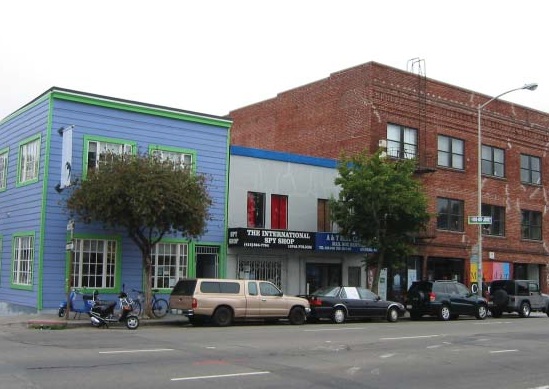 East SoMa Area - © San Francisco Planning Department - East SoMa Area Plan
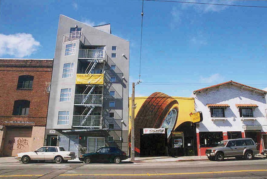 East SoMa area - © San Francisco Planning Departement - East SoMa Area Plan
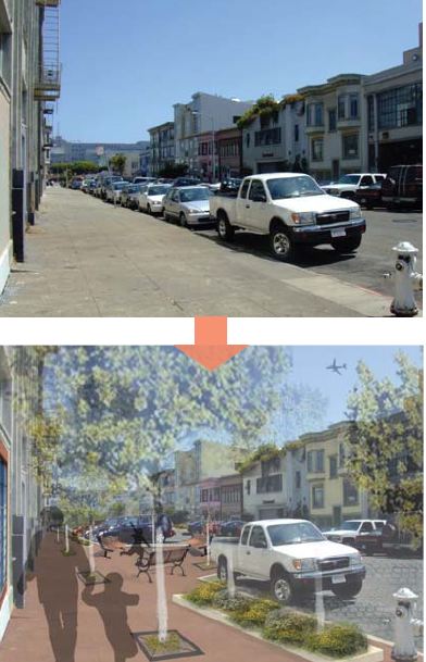 East SoMa Area - © San Francisco Planning Department - East SoMa Area Plan
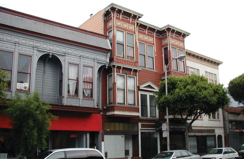 Mission Area - © San Francisco Planning Department - Mission Area Plan
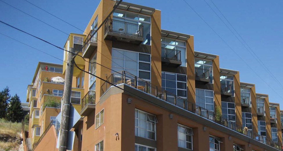 Showplace Square / Potrero Hill Area - © San Francisco Planning Department - Showplace Square / Potrero Hill Area Plan
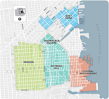 Eastern Neighbourhoods Plan - © San Francisco planning Department
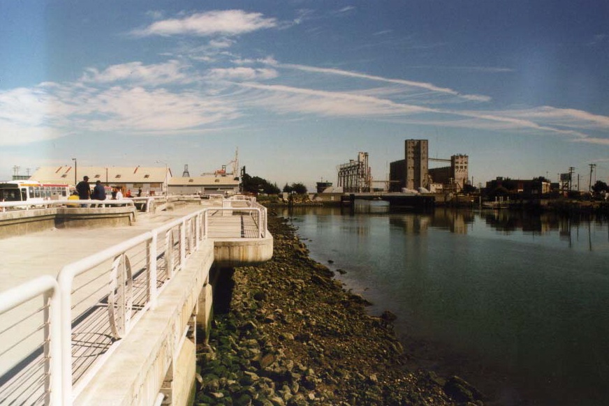 Central Waterfront Area - © San Francisco Planning Department - Central Waterfront Area Plan
Item 1 of 10
Status
completed
100%
City
San Francisco
Main actors
NGO / Philanthropy, City Government, Community / Citizen Group
Project area
Neighborhood or district
Duration
2001 - 2008
Through zoning and land-use regulation, this program fosters balanced development of affordable housing and light-industries
For the last 10 to 15 years, much of San Francisco's industrially-zoned land (approximately 1/3 of the City’s total land area) has been changing and has seen growing land use conflicts, where residential and office development began to compete with industrial uses. The four Eastern Neighborhoods of San Francisco were historically industrial and low income areas. In the mid to late 1990’s the booming economy in San Francisco brought an influx of young people causing a 30% increase in rent, housing shortages, and gentrification in the south eastern neighborhoods.
The main challenge of the Eastern Neighborhoods Community Program (ENCP) is to arbitrate between competing interests for land use and to find an optimal balance between housing and industry development in the area. Through a new zoning, giving more land opportunities to (affordable) housing development and at the same time guaranteeing the possibility for light-industrial expansion, the plan aims at creating socially and functionally mixed neighborhoods. Furthermore, new regulations relative to land-use, forming a constraint / incentive system for investors, aim at achieving the plan’s objectives. Because of the strong involvement of stakeholders during the all process, the plan serves as a good practice example.
On Map
The Map will be displayed after accepting cookie policy
Photo gallery